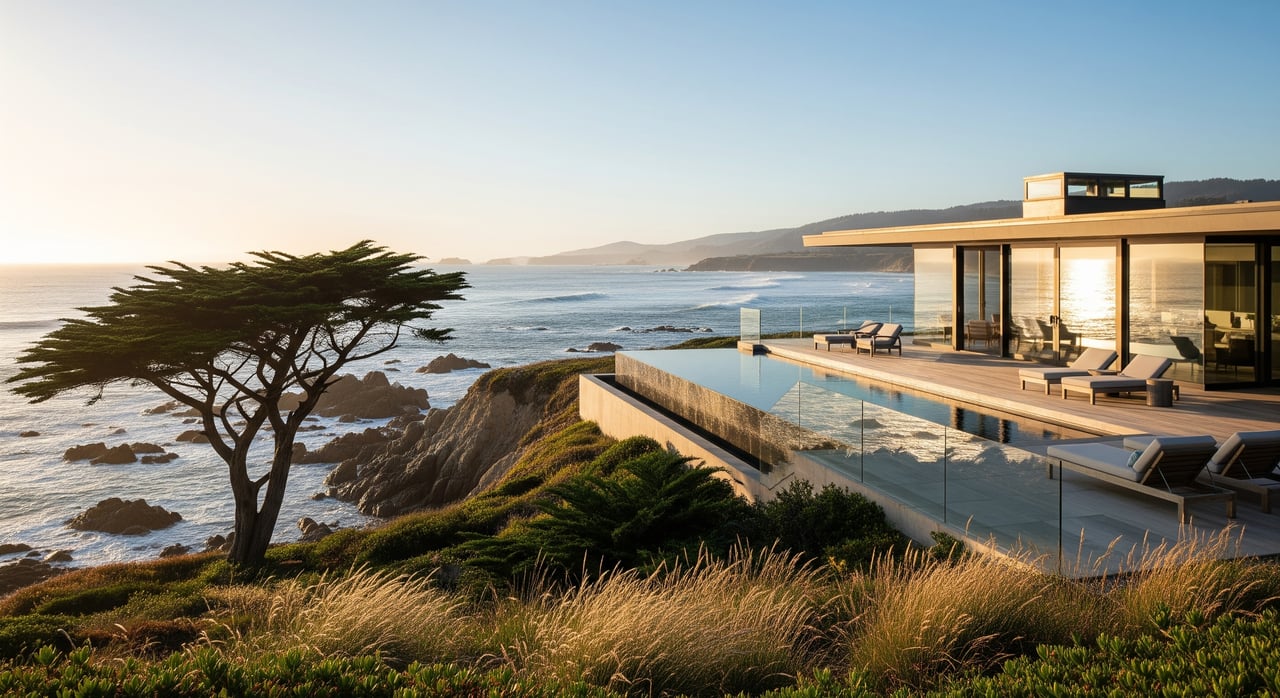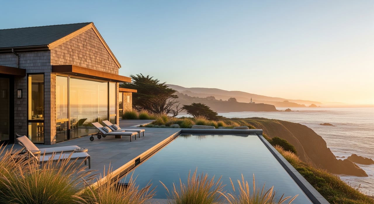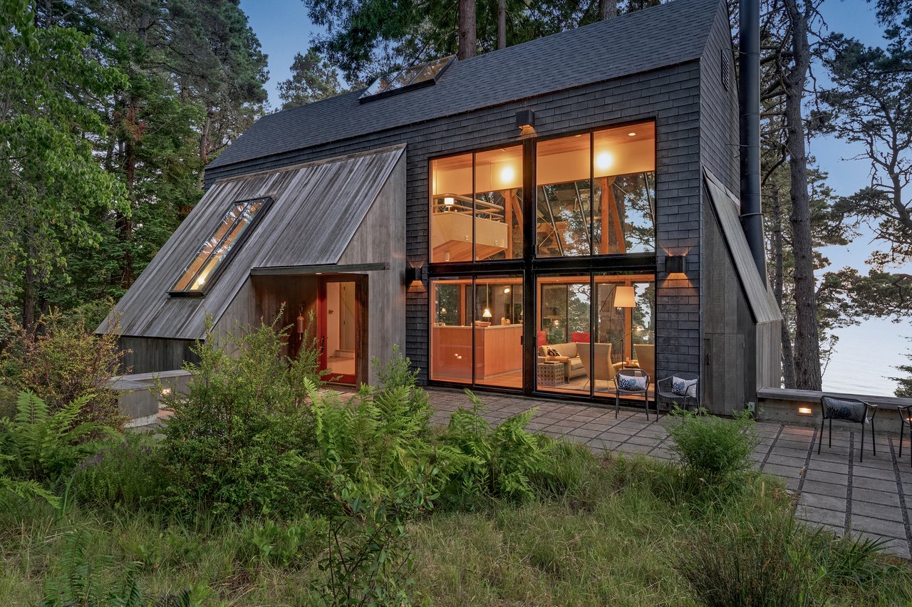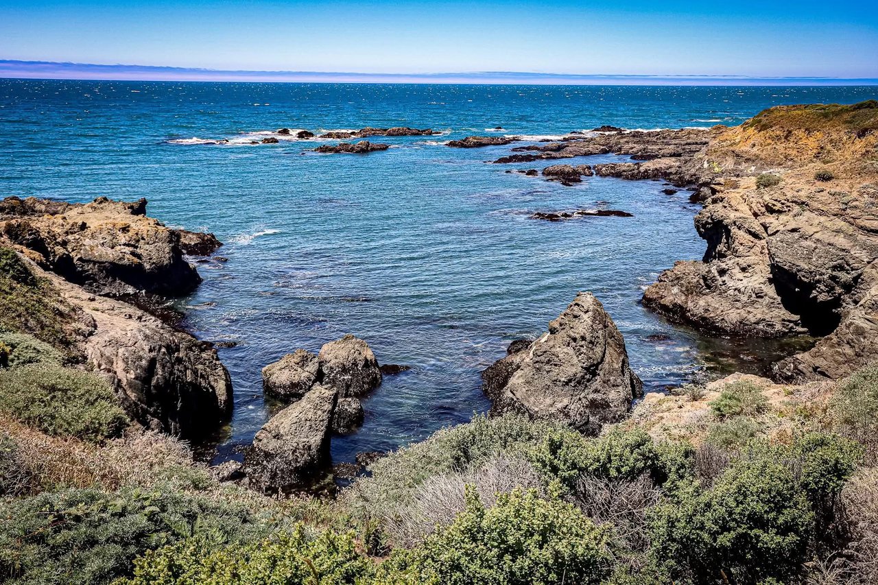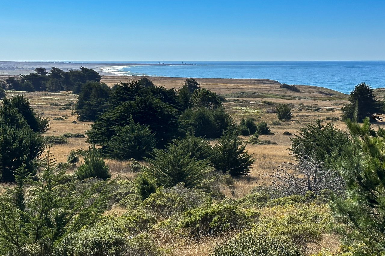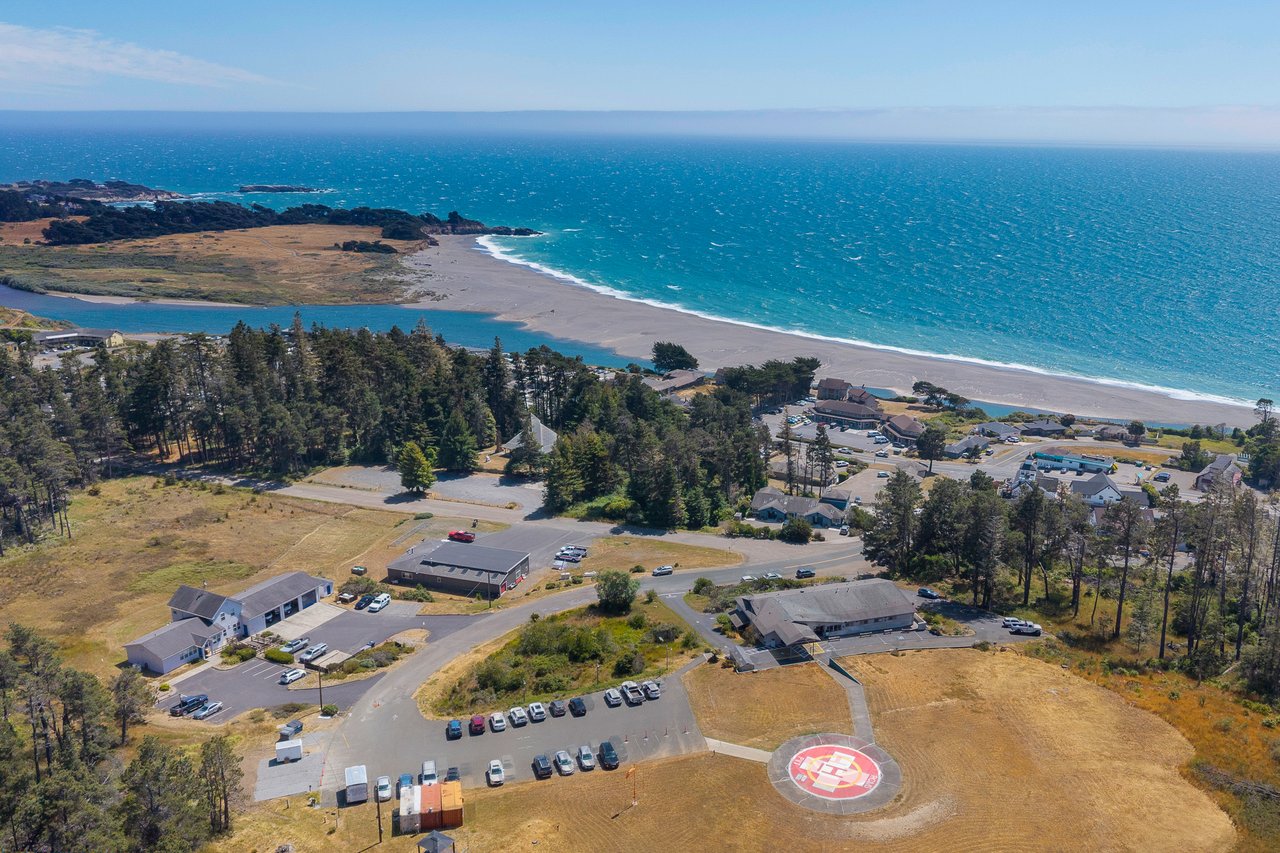
Pull up any map of the coastline south of town and the trail looks whole. A single ribbon runs from the mouth of the Gualala River, along the bluffs, past Whale Watch Point, and on into The Sea Ranch, threading five named beaches before it runs out of coast to follow. It reads like one long walk.
It isn't, not this year. Two unrelated closures, one caused by a landslide and one by a stairway replacement project, have split that ribbon into a handful of separate out-and-back walks. Neither closure has anything to do with the other, and neither has a posted repair date. If you've been walking this stretch for years, you've probably already adjusted your route without thinking much about it. If you haven't been out there since spring, the walk you remember isn't quite the walk that's there now.
The System, As It's Supposed to Work
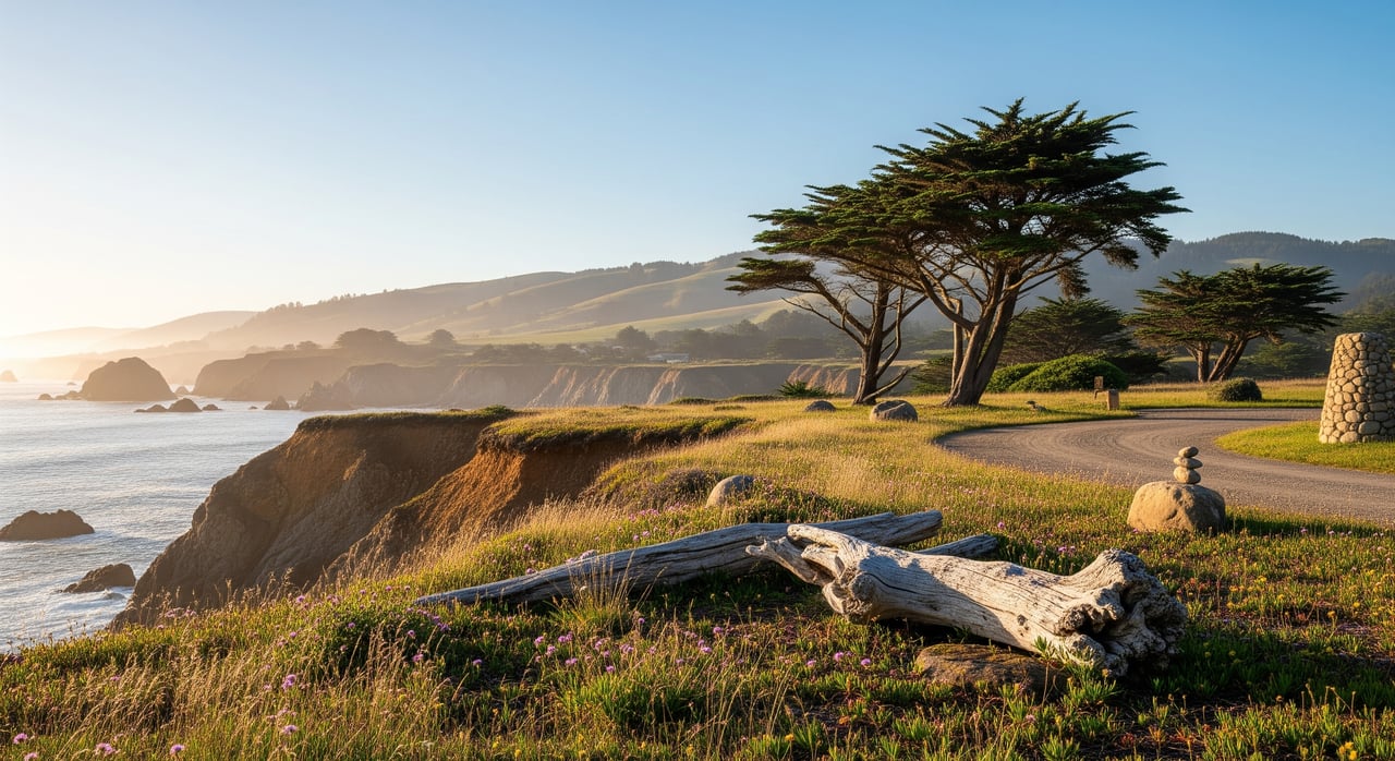
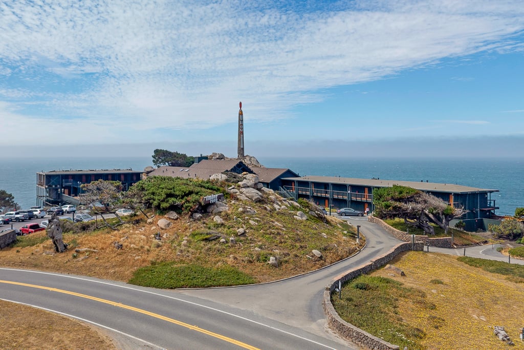
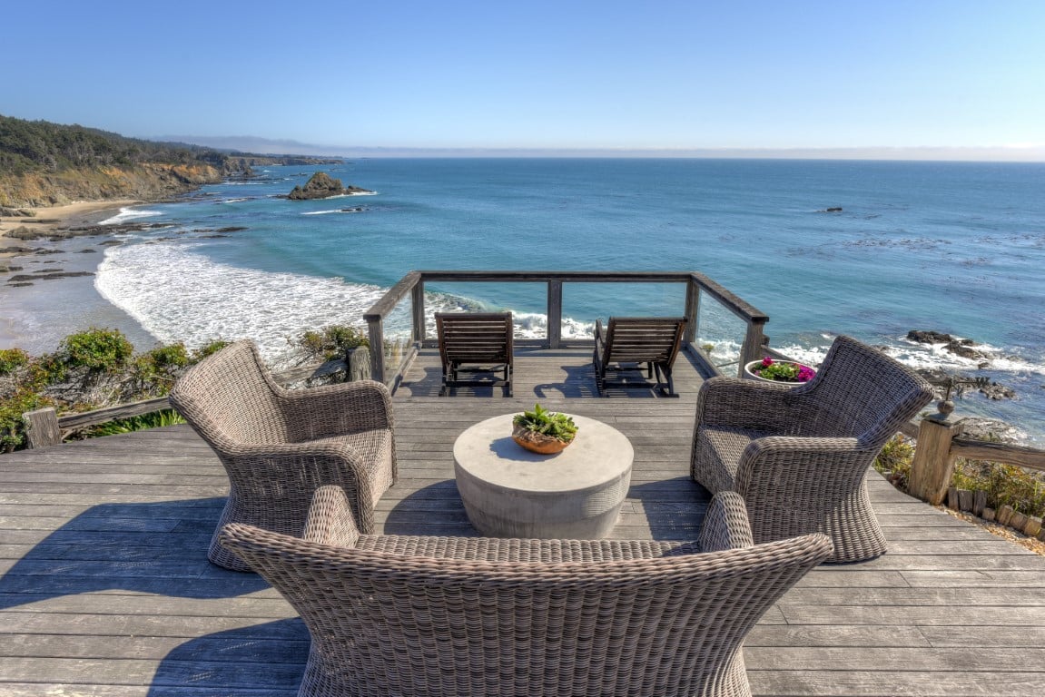
Gualala Point Regional Park sits right where the river meets the ocean, straddling the Sonoma-Mendocino line, and it's the anchor for everything south of it. Sonoma County Regional Parks maintains 2.9 miles of trail inside the park itself, a mix of paved, ADA-accessible path across meadow and cypress grove down to the beach, plus unpaved routes along the cliffs. A bench at Whale Watch Point marks the spot locals actually use for migrating whales and sunsets, and it's worth the stop even outside peak season.
From there, the unpaved Bluff Top Trail runs south, 3 miles one way, connecting the park to a string of Sea Ranch public access trails that the county also manages, even though Sea Ranch itself is private. Those trails, Walk-On Beach, Shell Beach, Stengel Beach, Pebble Beach, and Black Point, each drop from their own Highway 1 pullout down to a separate pocket beach. On paper, a fit walker staying in Sea Ranch lodging could start at the Gualala Point visitor center and reach all five beaches on foot in a single long day; this year, the Walk-On Beach landslide keeps that route from working as planned.
Where It Actually Stops
Here's the part that doesn't show up cleanly on a trail app. The Bluff Top Trail's public stretch ends at Walk-On Beach. Continue south past that point and you're on Sea Ranch's private bluff top corridor, open only to people staying in Sea Ranch lodging, not to the general public walking up from Gualala Point. That restriction isn't new. It's simply not something most people learn until they hit it.
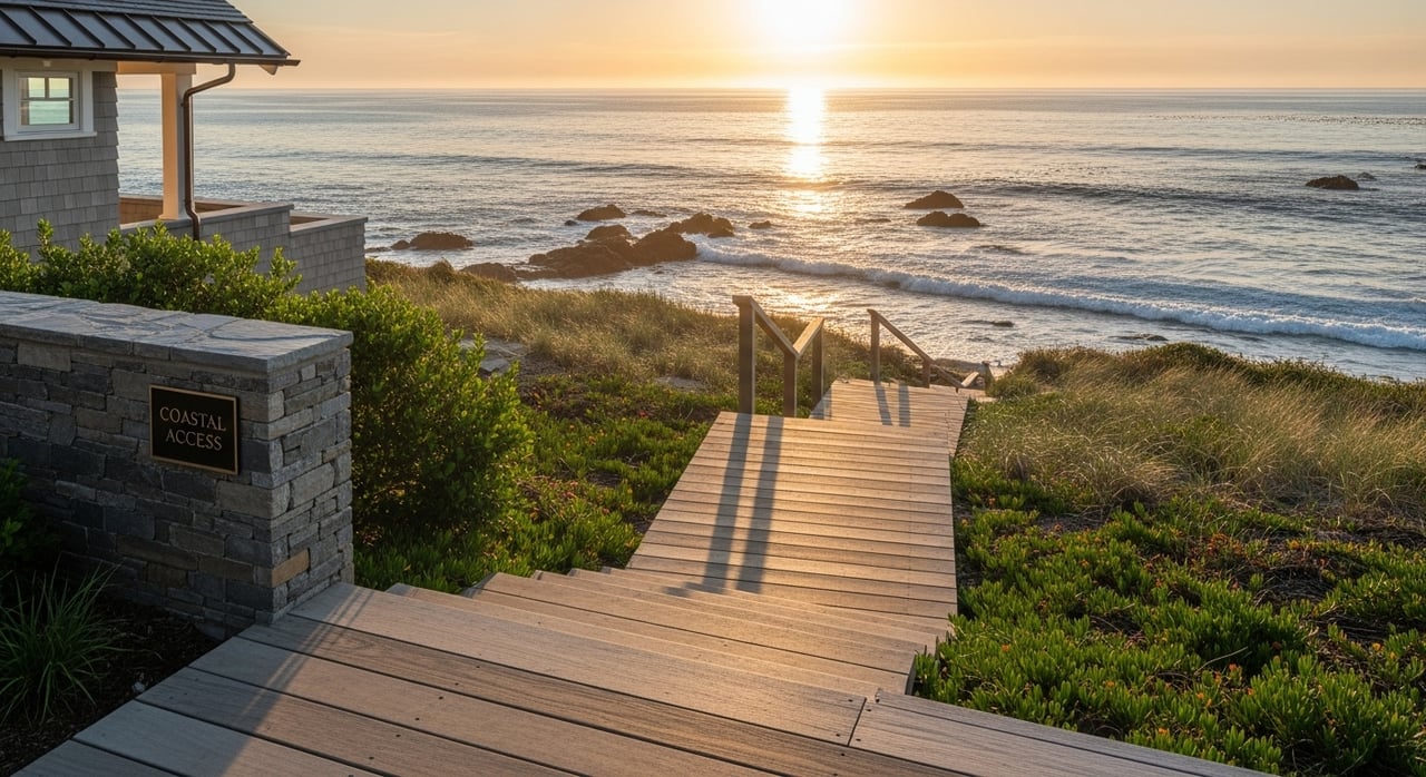
What is new is the closure at Walk-On Beach itself. The county's own notice is direct about it: the trail down to the beach has washed out at the bluff, and while you can still walk north from the parking area, the section leading south to the beach access stairs is blocked. Independent trail reports from earlier this year describe the same thing, a landslide that took out the path with no timeline attached to when it might reopen. So even the public end of the Bluff Top corridor no longer delivers you to sand.
A few miles further south, a second and entirely unconnected closure is affecting Stengel Beach. The county is replacing the wooden stairway down to that beach, and the closure is expected to hold through the rest of 2026. It has nothing to do with the Walk-On Beach landslide. It's a maintenance project with its own schedule, and it happens to be running at the same time.
What's Actually Open Right Now
| Trail | Distance (one way) | Public access | Status |
|---|---|---|---|
| Gualala Point Regional Park trail network | 2.9 mi total | Yes | Open |
| Bluff Top Trail, Gualala Point to Walk-On Beach | 3 mi | Yes | Open, but ends at the landslide |
| Bluff Top Trail, south of Walk-On Beach | Continues into Sea Ranch | Sea Ranch lodging guests only | Open to guests |
| Walk-On Beach Trail | 0.25 mi | Yes | Partial closure, beach stairs blocked by landslide |
| Shell Beach Trail | 0.65 mi | Yes | Open |
| Stengel Beach Trail | 0.12 mi | Yes | Closed, stairway replacement through 2026 |
| Pebble Beach Trail | 0.27 mi | Yes | Open |
| Black Point Trail | 0.25 mi | Yes | Open |
| Gualala Bluff Trail, in town | 0.4 mi | Yes | Open |
Read across that table and the shape of this year's walk becomes clear. Shell Beach, Pebble Beach, and Black Point are each still fully reachable, but only if you drive to their own separate pullouts on Highway 1 rather than trying to walk the coastline between them. The connective tissue, the Bluff Top corridor that used to let you string several beaches together on foot, is the part that's broken or restricted right now.
The Detour Regulars Are Already Taking
Anyone walking this stretch regularly has quietly stopped treating it as a through-hike. The most common adjustment is simple: walk the 2.9 miles inside Gualala Point Regional Park, out to Whale Watch Point and back, and treat the Bluff Top Trail as a there-and-back to the landslide barrier rather than a route to anywhere new. It's still a solid outing, and it avoids the frustration of hiking three miles only to find a locked-off staircase at the end.
For Shell Beach, Pebble Beach, or Black Point, the workaround is to drive rather than walk. Each has its own trailhead off Highway 1, short enough that the round trip on foot is well under a mile and a half. It's a different kind of outing than the long coastal walk this stretch used to offer, more a series of quick stops than one continuous hike, but it's the version that actually matches ground conditions this year.
The Other Trail, In Town
Separate from all of this is the Gualala Bluff Trail, a much shorter path that has nothing to do with either closure. It runs about 0.4 miles behind downtown, built and maintained by the Redwood Coast Land Conservancy, a local land trust that's been working on public access projects along this stretch of coast since 1992. You can pick it up from the Surf Motel driveway or from the gap between the Breakers Inn and Sandbar Restaurant, and it follows the river behind several of the town's inns before opening onto views of the estuary and the ocean beyond. It's a five-minute walk from most of downtown, whales and river otters show up regularly along it, and none of the closures affecting Gualala Point or Sea Ranch touch it at all. The same conservancy also maintains public access at Cooks Beach and Hearn Gulch further up the coast, part of a broader stewardship role that's easy to miss if you only think of it as one short trail behind the motels.
Before You Go
A few details worth knowing before you head out, none of them posted prominently on any map:
- The park runs from sunrise to sunset daily, and the visitor center itself keeps a narrower schedule, typically staffed midday on weekends only.
- Dogs are welcome throughout, but the leash rule caps at six feet, and it's enforced.
- There are no water stations along the trail network, so bring enough for yourself and any dog with you.
- Foxtails become a real hazard in the grass during late spring and summer. Check paws and coats after any walk through open meadow.
- Gualala Point Regional Park charges a day-use fee at the gate, commonly reported around $7.
None of these change the appeal of the walk itself. They just change how you plan it this year.
The Read
The coastline south of Gualala hasn't gotten smaller. It's just gotten more segmented, temporarily, by two projects that happen to be running at the same time for entirely different reasons. Locals who walk this stretch weekly have already worked out which beaches you drive to and which trail you simply turn around on. If you're just getting back out there after a season away, the biggest adjustment isn't distance or difficulty. It's recalibrating what "the loop" actually means right now, and knowing that neither closure comes with a firm date for when the map will be true again.
For more on the neighborhoods, trails, and small details that make up daily life along this coast, Kennedy & Associates keeps a running local record, whether you're already home here or just getting to know the area one walk at a time.
This article is general information, not legal, tax or financial advice. Consult a qualified professional about your situation.