One bend on Highway 1 can change everything. Sunlit bluffs can turn to cool fog in a mile, and a windy headland can give way to a warm, sheltered cove just around the point. If you are exploring homes from Timber Cove to Gualala, these microclimates shape comfort, maintenance, and long-term value. This guide shows you why the weather shifts so fast here, what it means for your home, and how to shop and sell with confidence. Let’s dive in.
Why microclimates matter
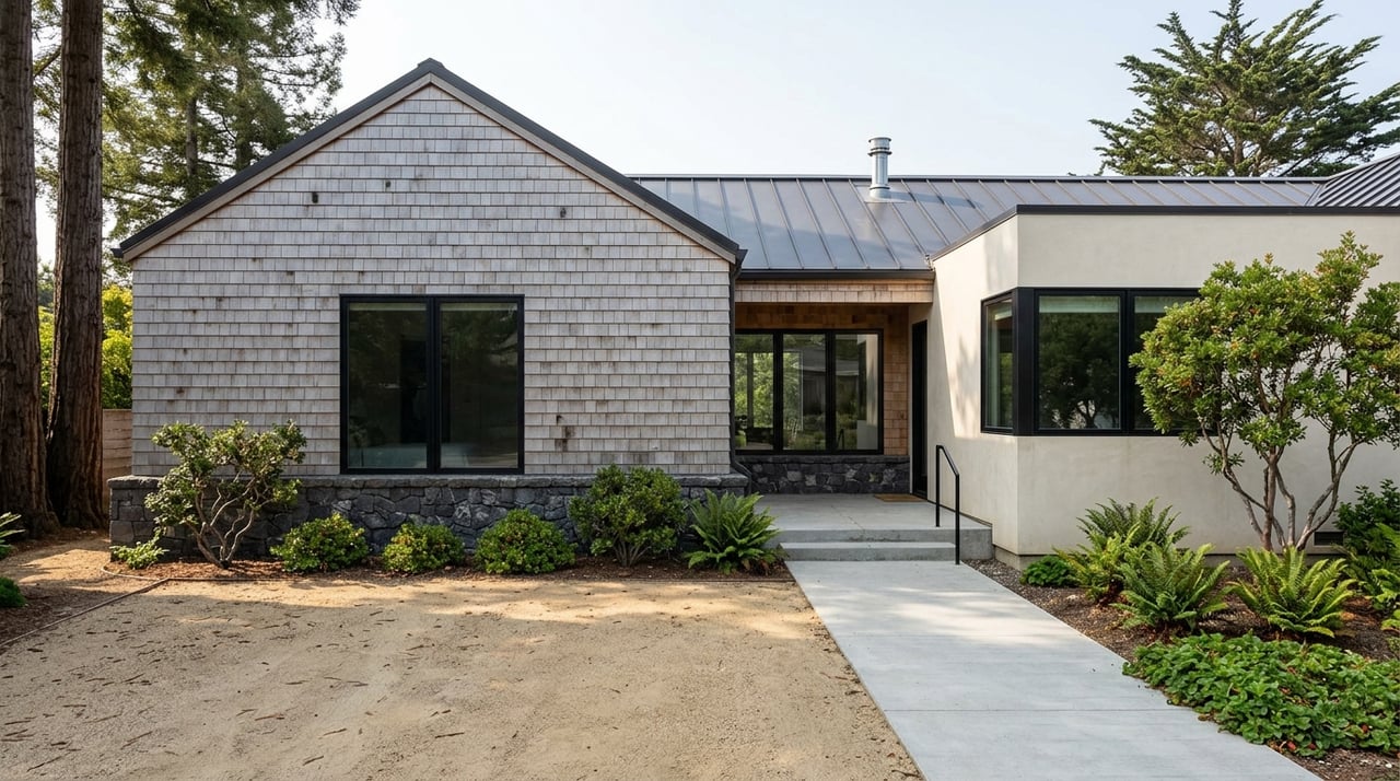
Along this stretch of the Sonoma coast, short distances bring big shifts in temperature, wind, fog, and even moisture. Ocean processes, rugged headlands, narrow terraces, redwood valleys, and the Gualala River mouth all interact to create distinct pockets of weather. For you, that means real differences in outdoor living, energy bills, landscaping success, and upkeep.
These same factors also influence risk. Bluff-top parcels face salt spray and long-term erosion, while inland forest edges can carry higher wildfire exposure. Understanding where a property sits in this mix helps you plan smart improvements and choose the right home for your lifestyle.
What shapes the coast’s weather
Marine layer and coastal fog
Cool coastal waters feed a shallow, humid marine layer that often slides onshore and condenses into fog and low clouds. Fog is most common from late spring into early fall, the classic “June gloom” pattern. During these months, mornings can be gray and damp, with fog burning off faster in sheltered pockets and lingering longer on exposed bluffs.
Wind and exposure
Prevailing onshore winds and a coastal jet accelerate over headlands and cliff-top parcels. This increases wind chill, drives salt spray inland, and can scour fog off exposed slopes. In contrast, sheltered coves and leeward hillsides are markedly calmer and often feel warmer when the sun breaks through.
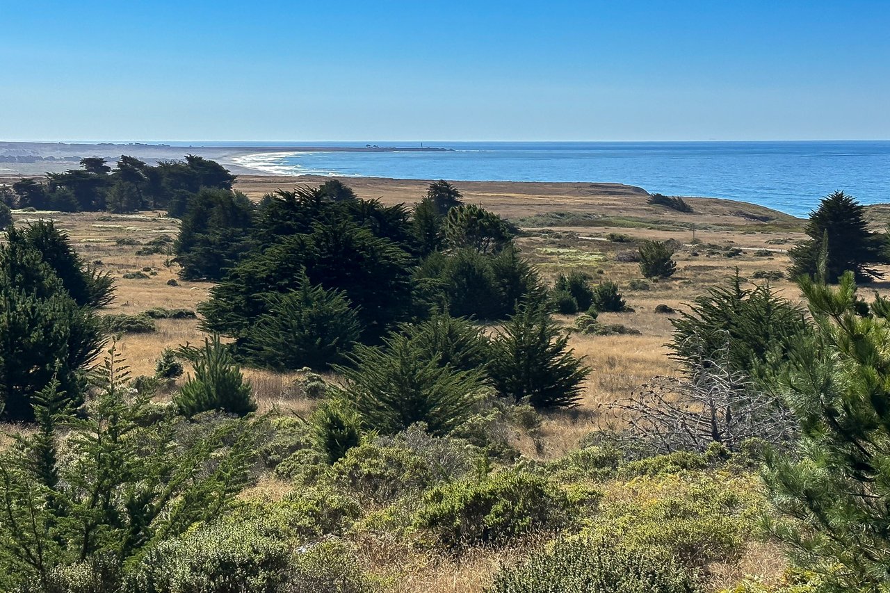
Topography and aspect
South- and west-facing slopes look straight at the ocean and tend to be cooler, windier, and foggier. Northeastern or inland-facing slopes and valley bottoms can be sunnier and more sheltered during the day. At night, cold air drains into inland hollows, sometimes creating localized frost pockets while ridgelines stay breezy.
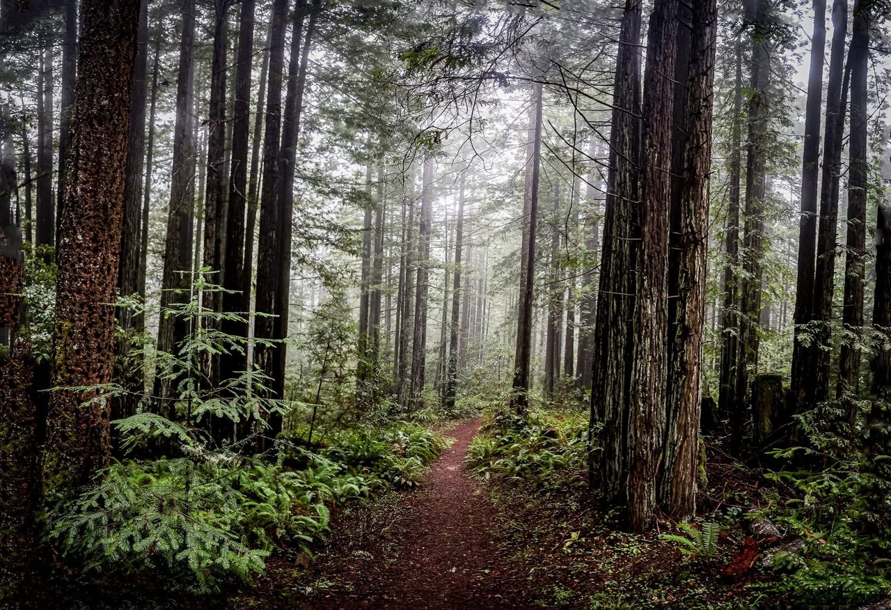
Vegetation and moisture
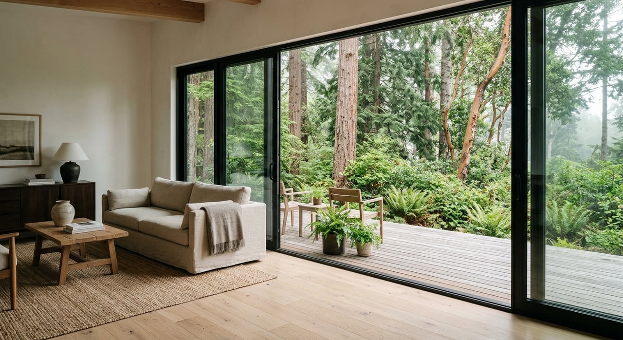
Redwood-lined valleys hold cool, moist air and reduce wind. Open grasslands and coastal scrub heat up quickly once fog lifts, but they also dry out faster. These differences affect how your home dries after fog and which plants will thrive.
Year-to-year swings
El Niño and La Niña patterns and long-term warming can nudge fog frequency, wind patterns, and upwelling strength from year to year. If you want to see long-term context near specific stations, review nearby records through the NOAA climate normals and high-resolution PRISM climate maps.
Where conditions shift fast
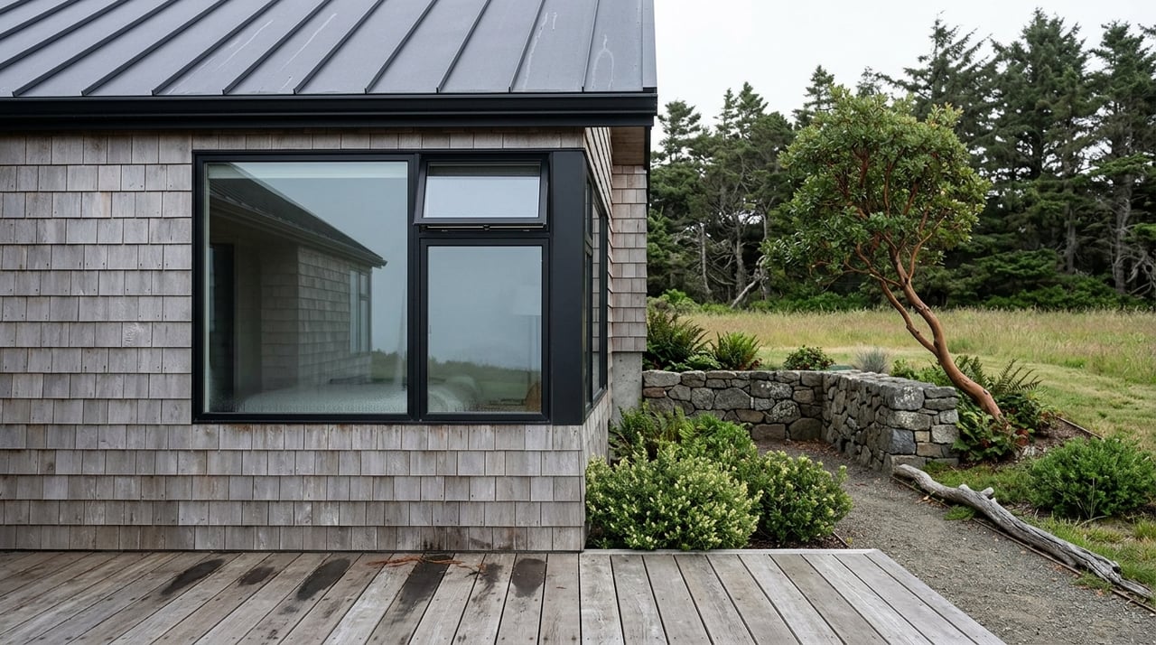
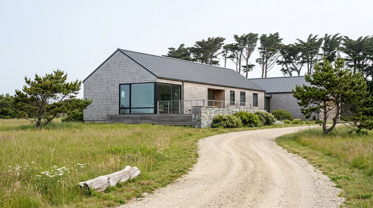
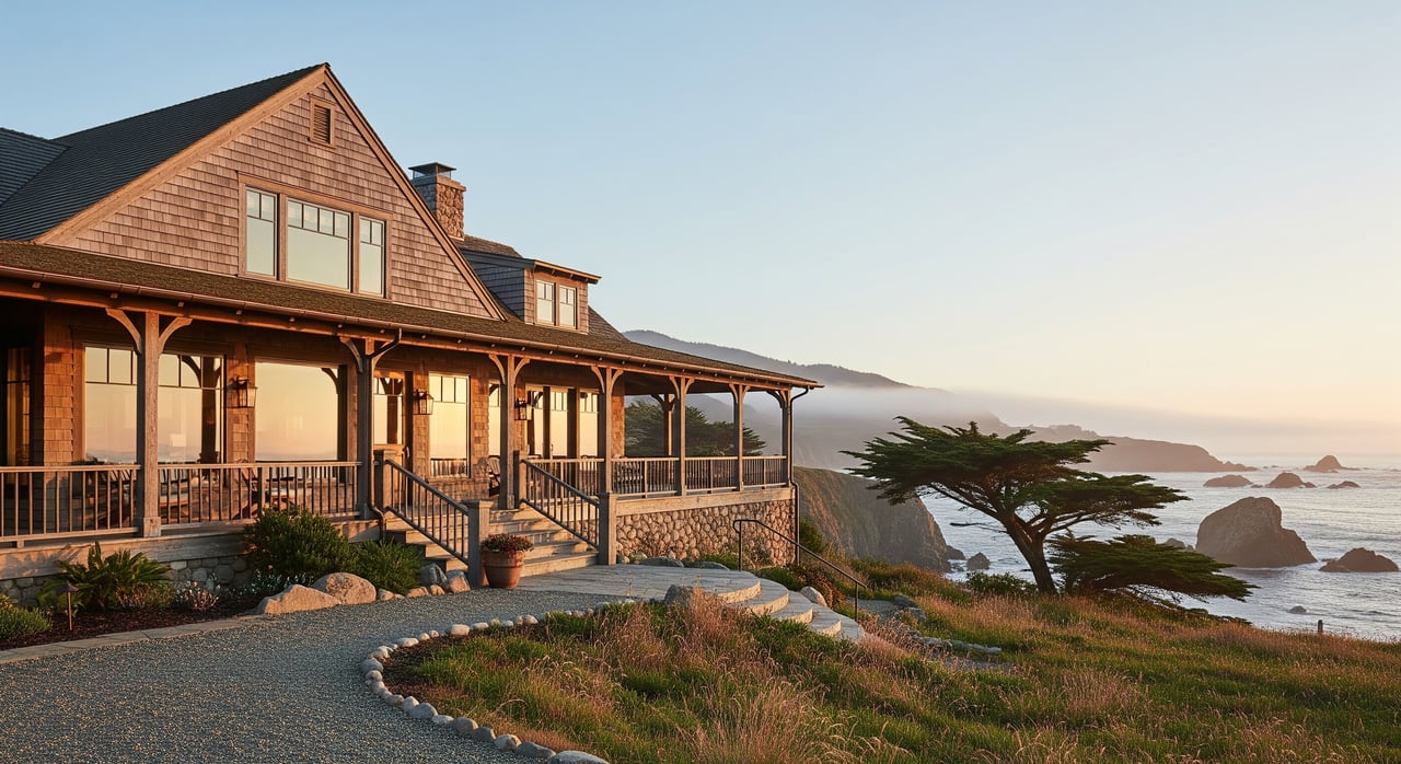
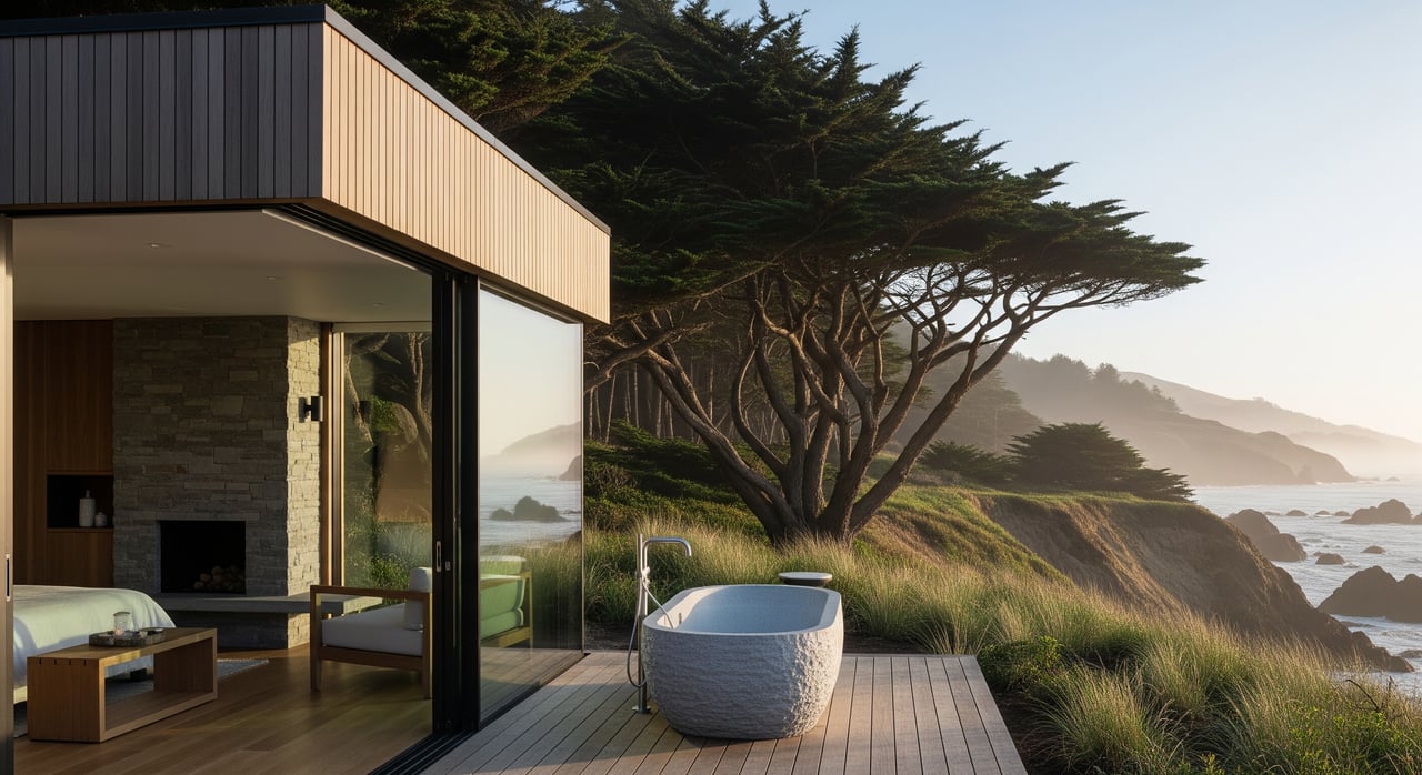
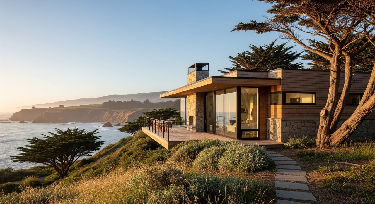
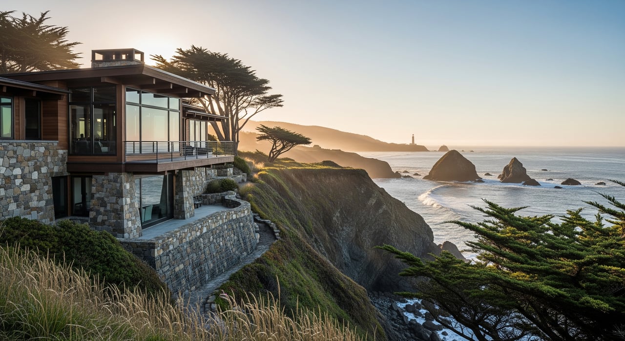
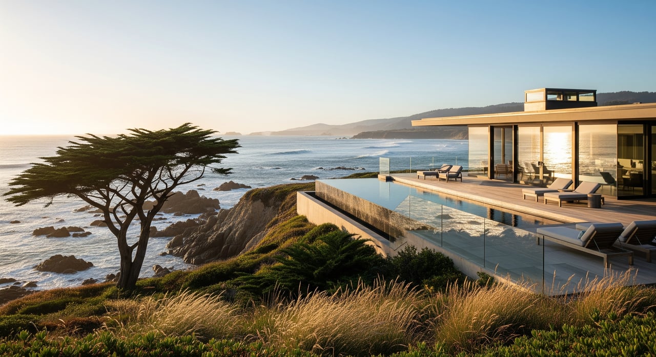
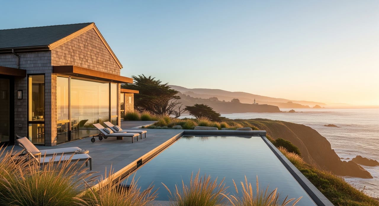
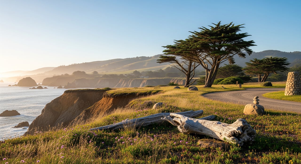
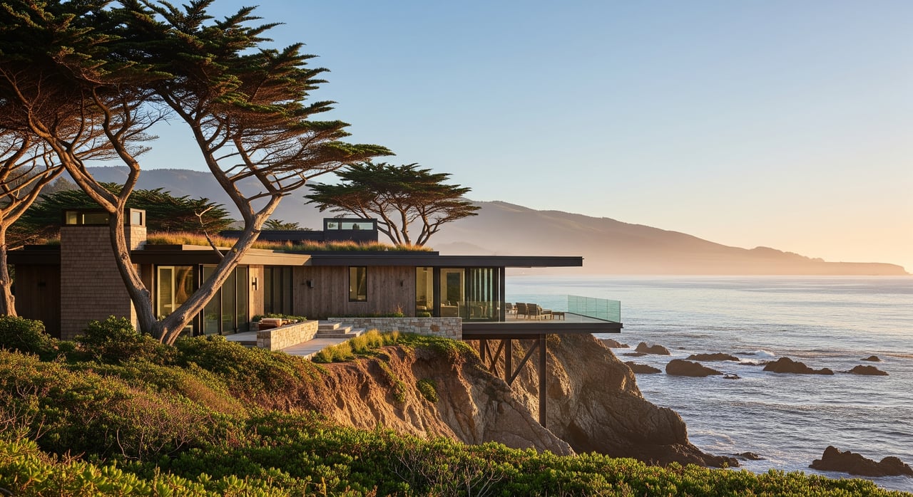
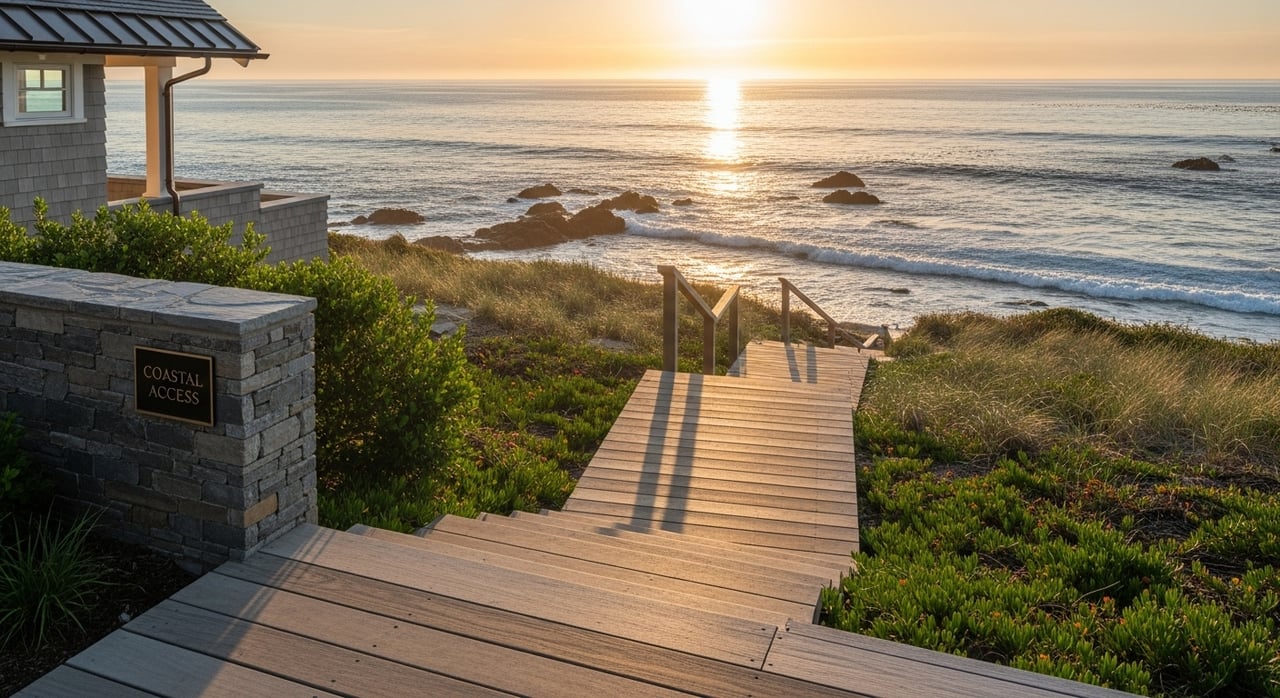
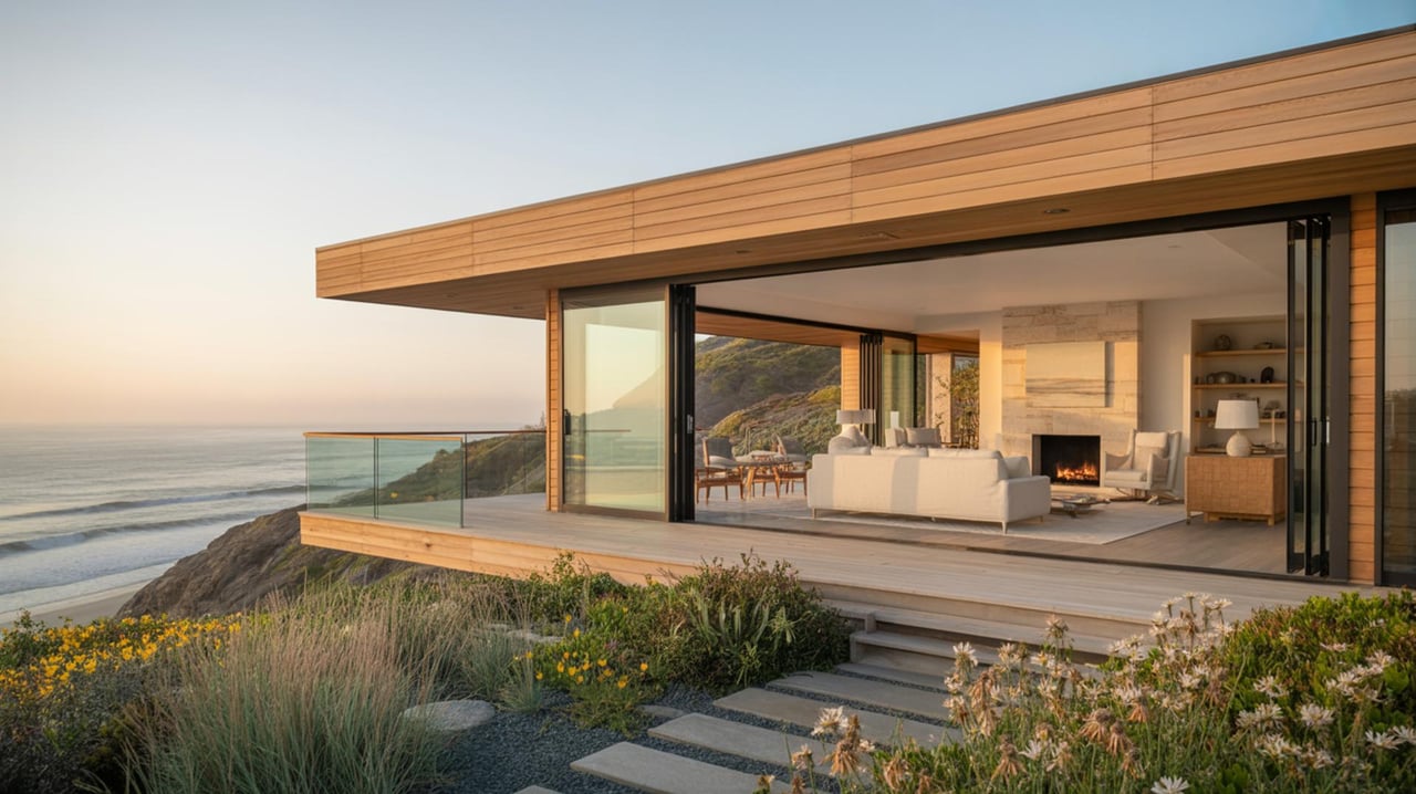
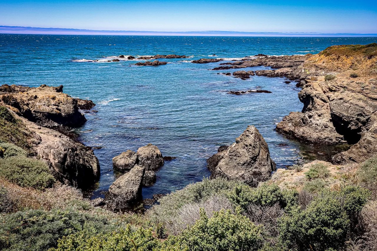
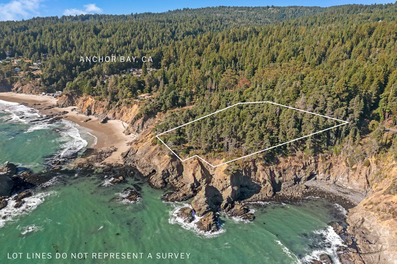
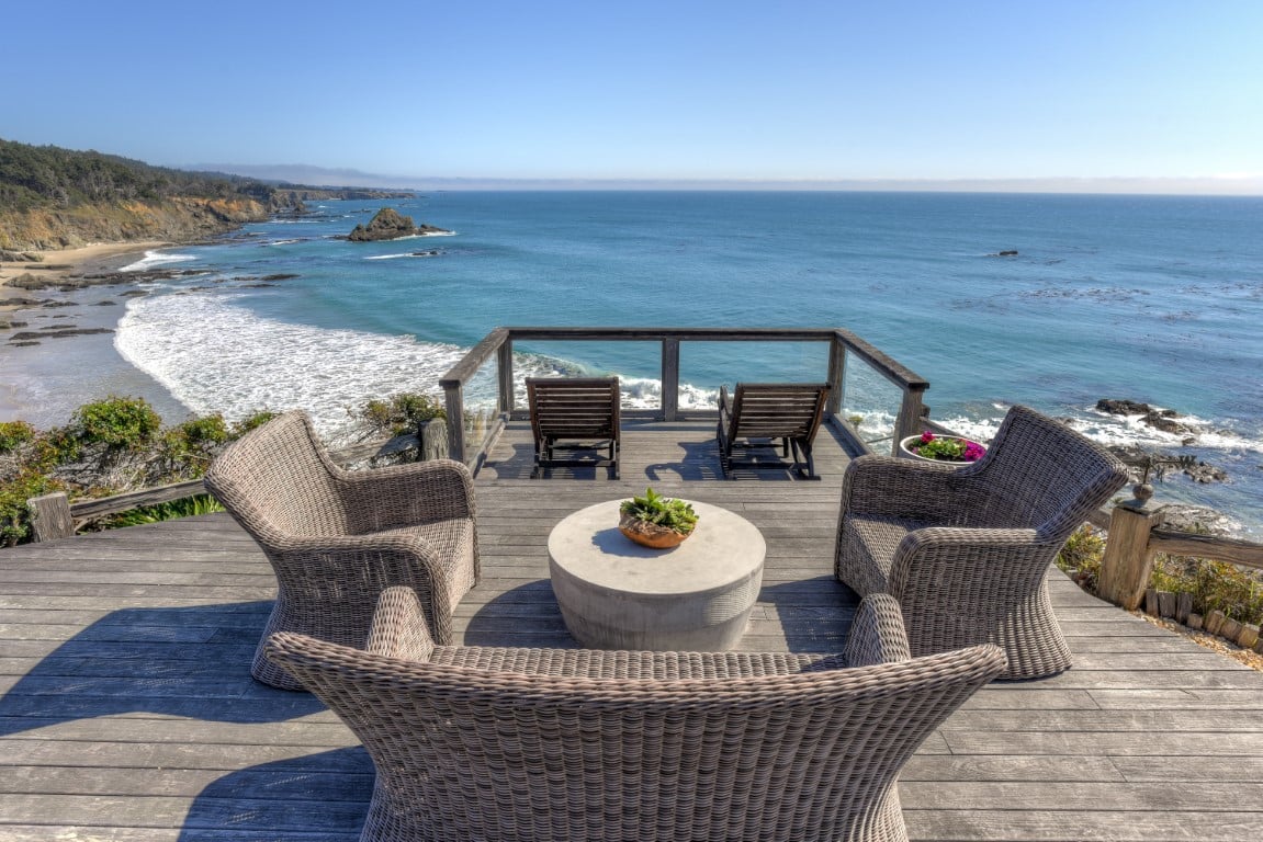
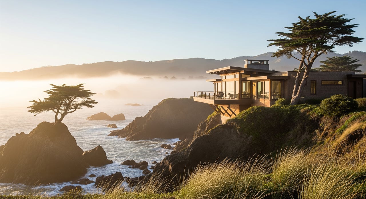
Exposed headlands and bluff-top parcels
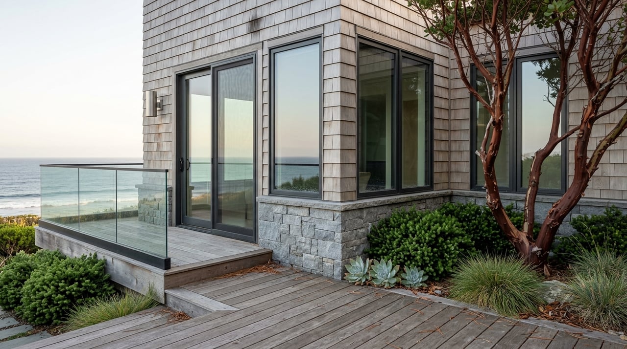
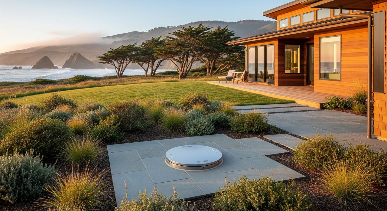
Expect the strongest winds, frequent salt spray, and either persistent fog or quickly clearing conditions depending on wind speed. Views are spectacular, but exterior finishes, fasteners, and equipment face more corrosion and wear. Solar panels may need sturdier mounting and more frequent cleaning to remove salt and fog residue.
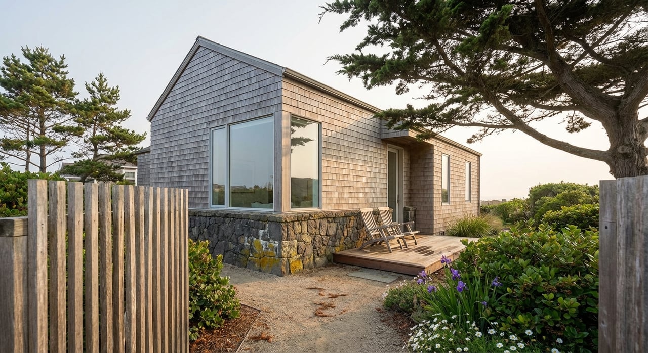
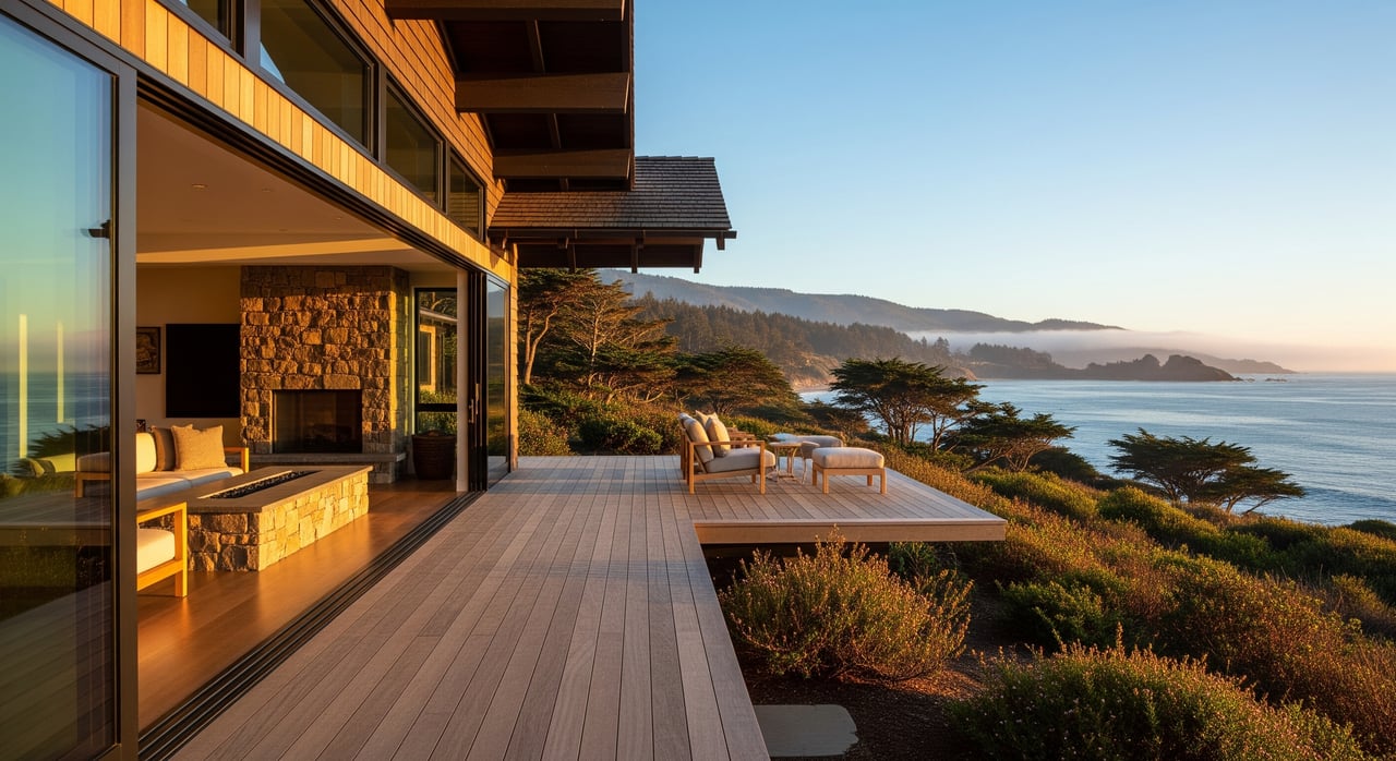
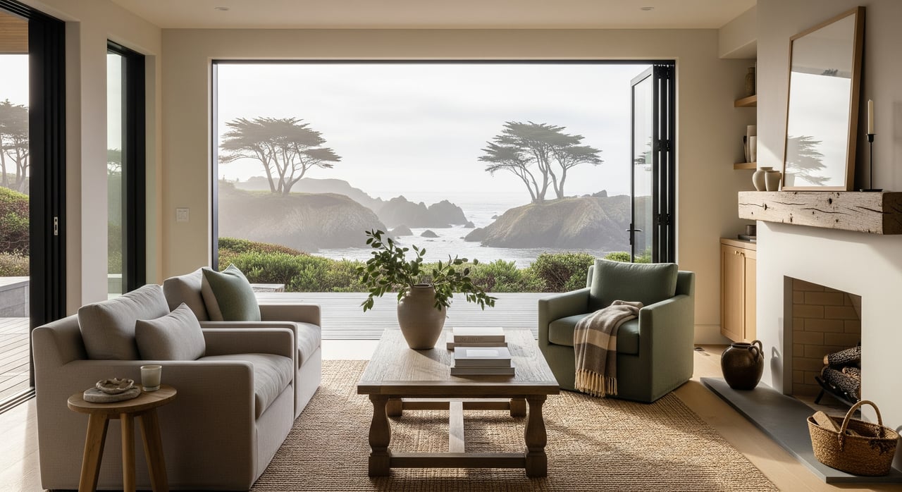
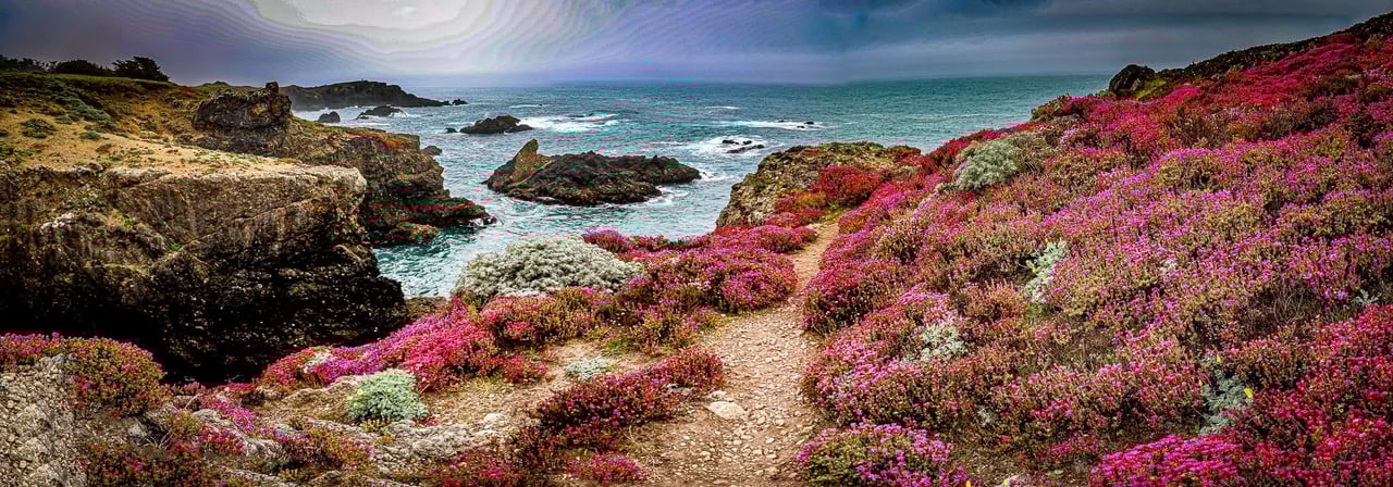
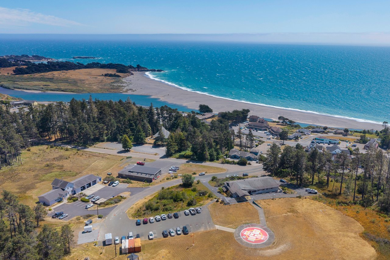
Sheltered coves and the Gualala estuary
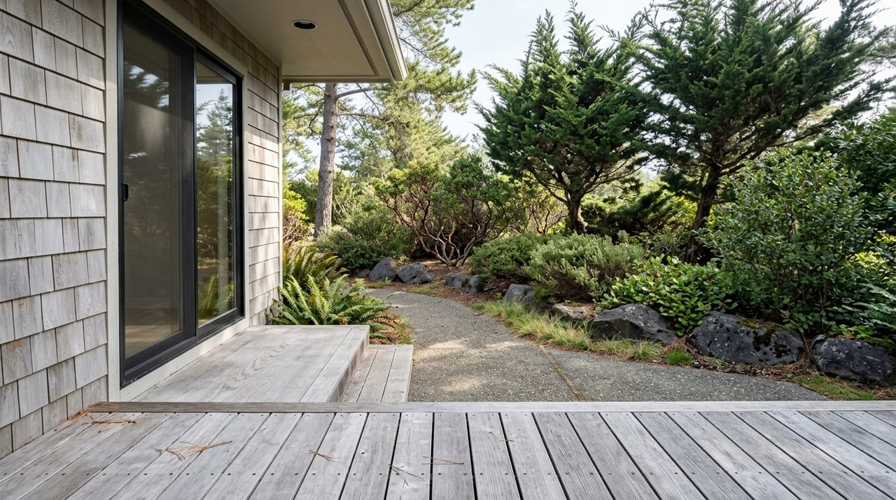
Coves, leeward slopes, and river-mouth zones often enjoy lighter winds and warmer daytime highs when the sun breaks through. Morning fog can bank along the estuary and then clear sooner than it does on adjacent headlands. These pockets are great for outdoor living areas and for plant varieties that prefer a bit more warmth.
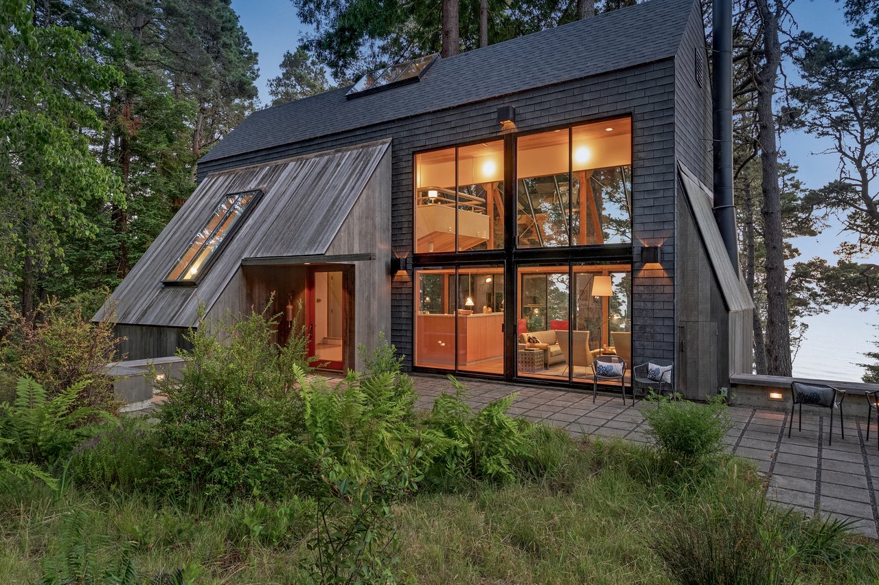
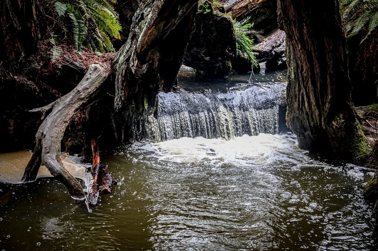
Forested inland valleys
These locations are cooler and damp, with lower daytime temperature swings and limited direct sun. Structures here need strong ventilation and moisture control to manage mold and rot risk. Landscaping should account for slower drying and higher humidity.
Transitional parcels
Some properties include both a windy ridge and a protected backslope. You can use this to your advantage by siting gardens, patios, and even accessory structures in the calmer zone, while keeping view-focused spaces up top.
What it means for your home
Comfort and outdoor living
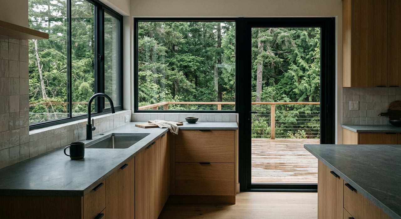
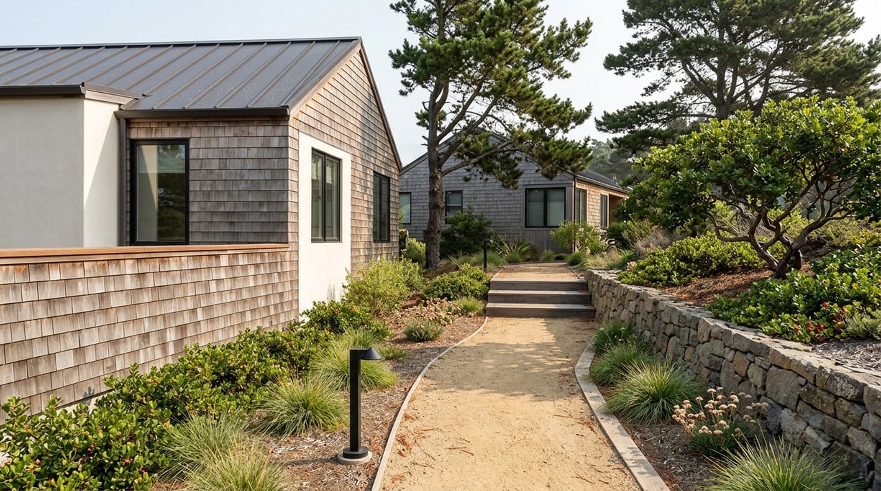
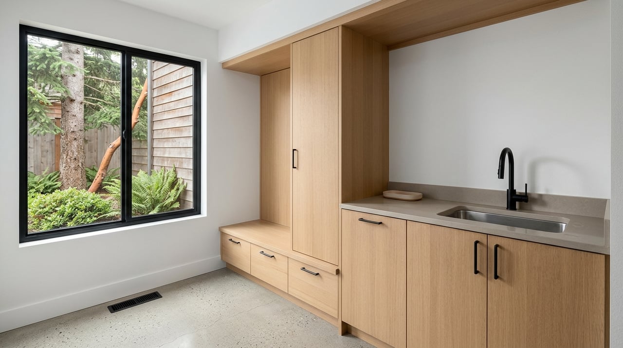
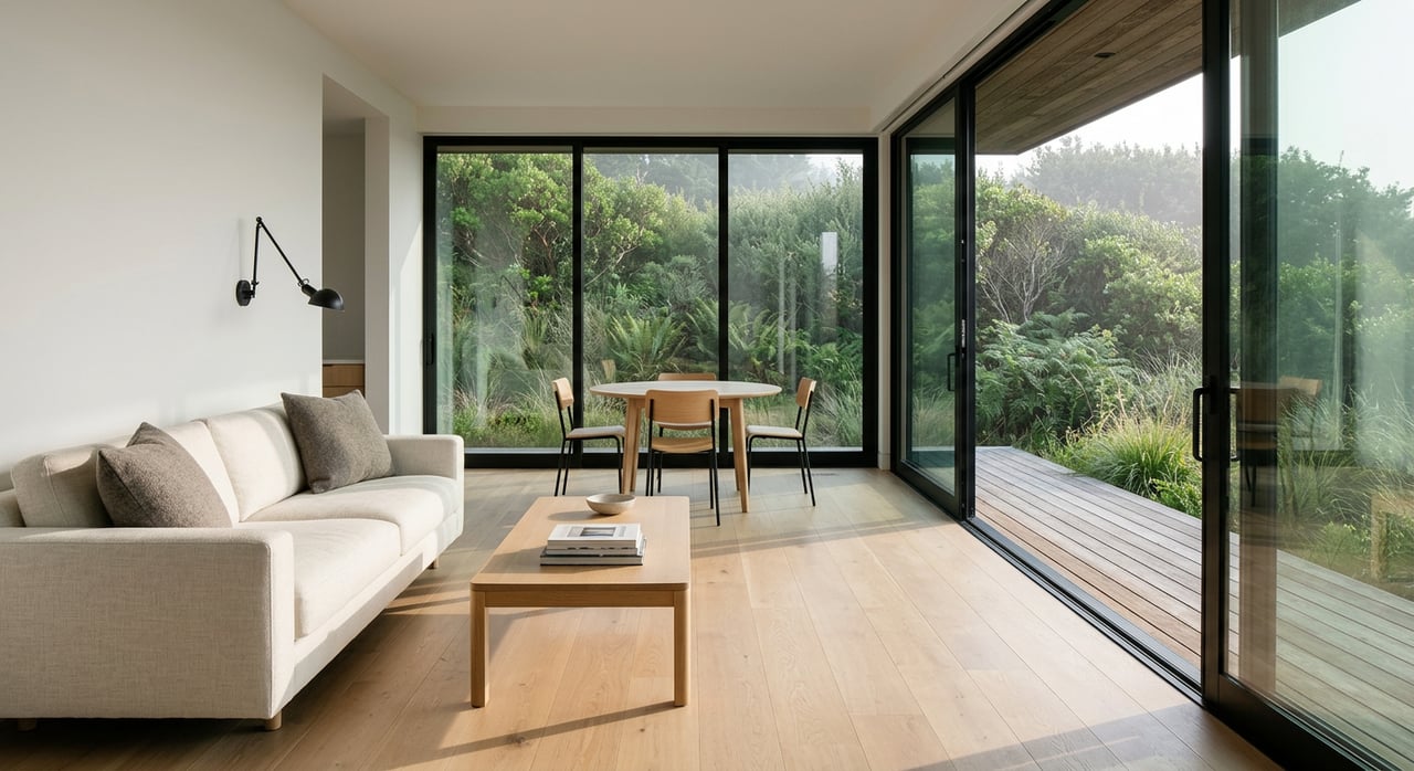
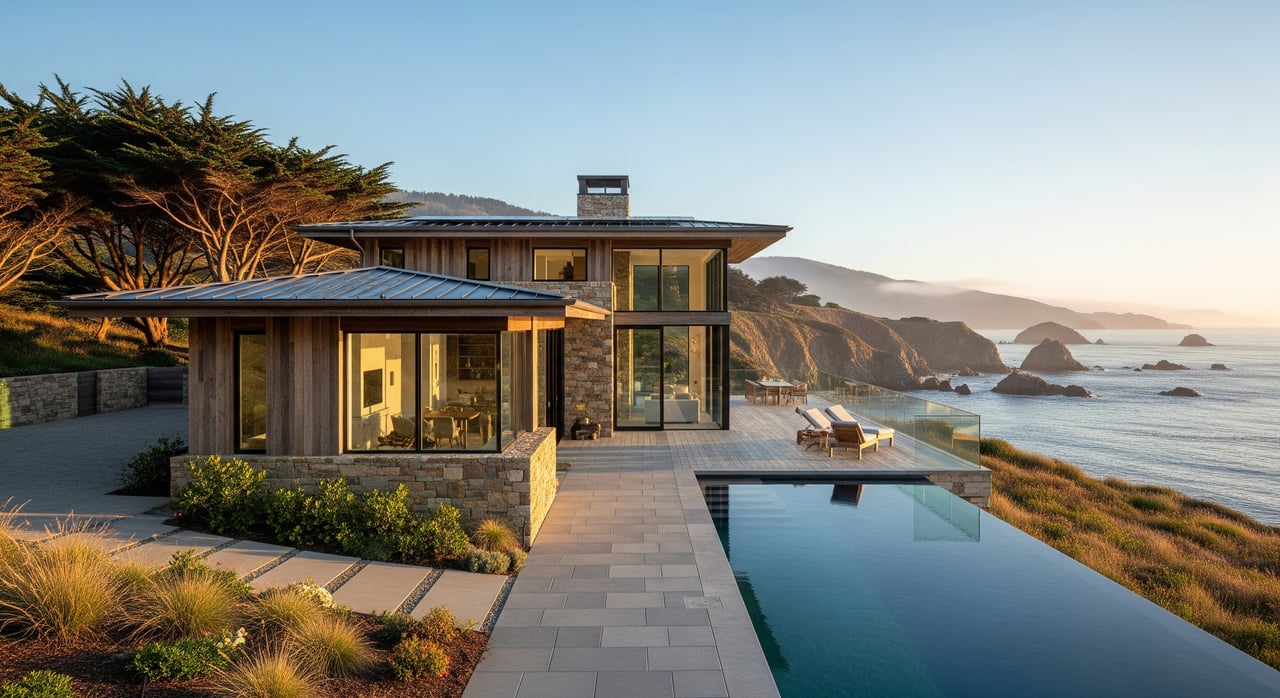
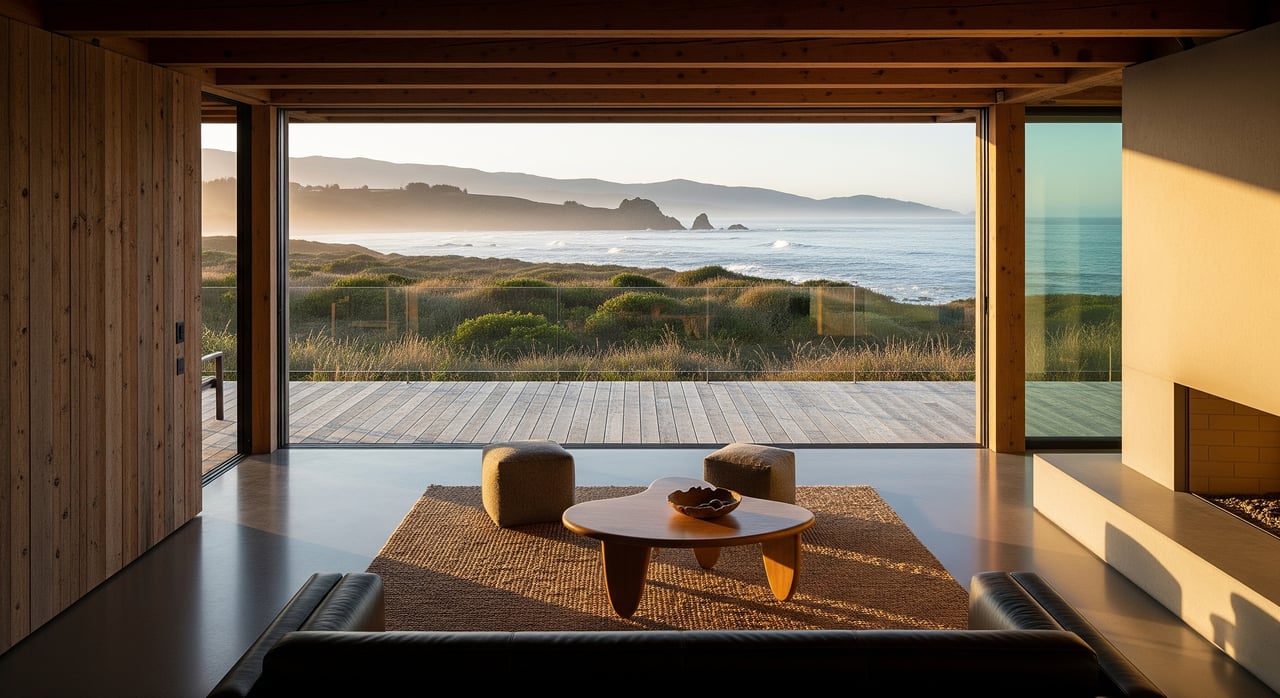
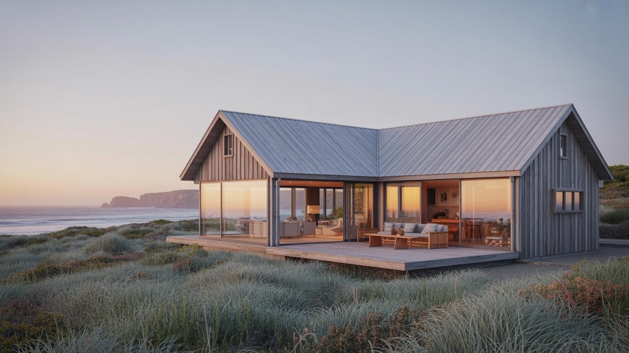
Fog, wind, and sun exposure can change within a few hundred feet, so test how a property feels at different times of day. Sheltered spots can deliver sunny afternoons when nearby bluffs stay chilly. Exposed sites benefit from wind screens, covered outdoor areas, and materials designed for salt and moisture.
Energy use and solar
Cooling demand is often low here, but dehumidification and ventilation matter in fog-prone pockets. Solar potential varies with fog frequency and orientation. South-facing and sheltered locations often yield better production, and panels near the ocean will likely need more frequent cleaning to remove salt and mist.
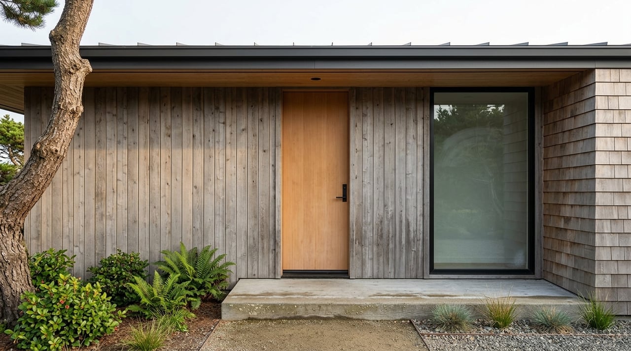
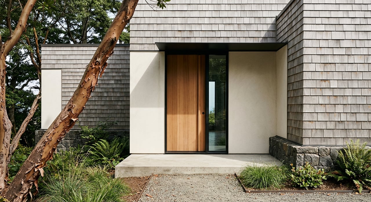
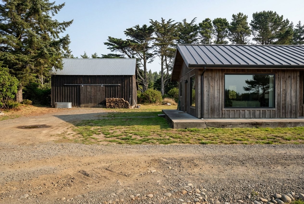
Materials and maintenance
Salt spray accelerates corrosion on metal fasteners, railings, and mechanicals, and fog moisture can shorten paint life and increase rot risk. Choose corrosion-resistant fasteners and marine-rated components, and schedule regular inspections for siding, roofing, decks, and HVAC. Building envelopes on windy sites benefit from enhanced sealing and careful flashing.
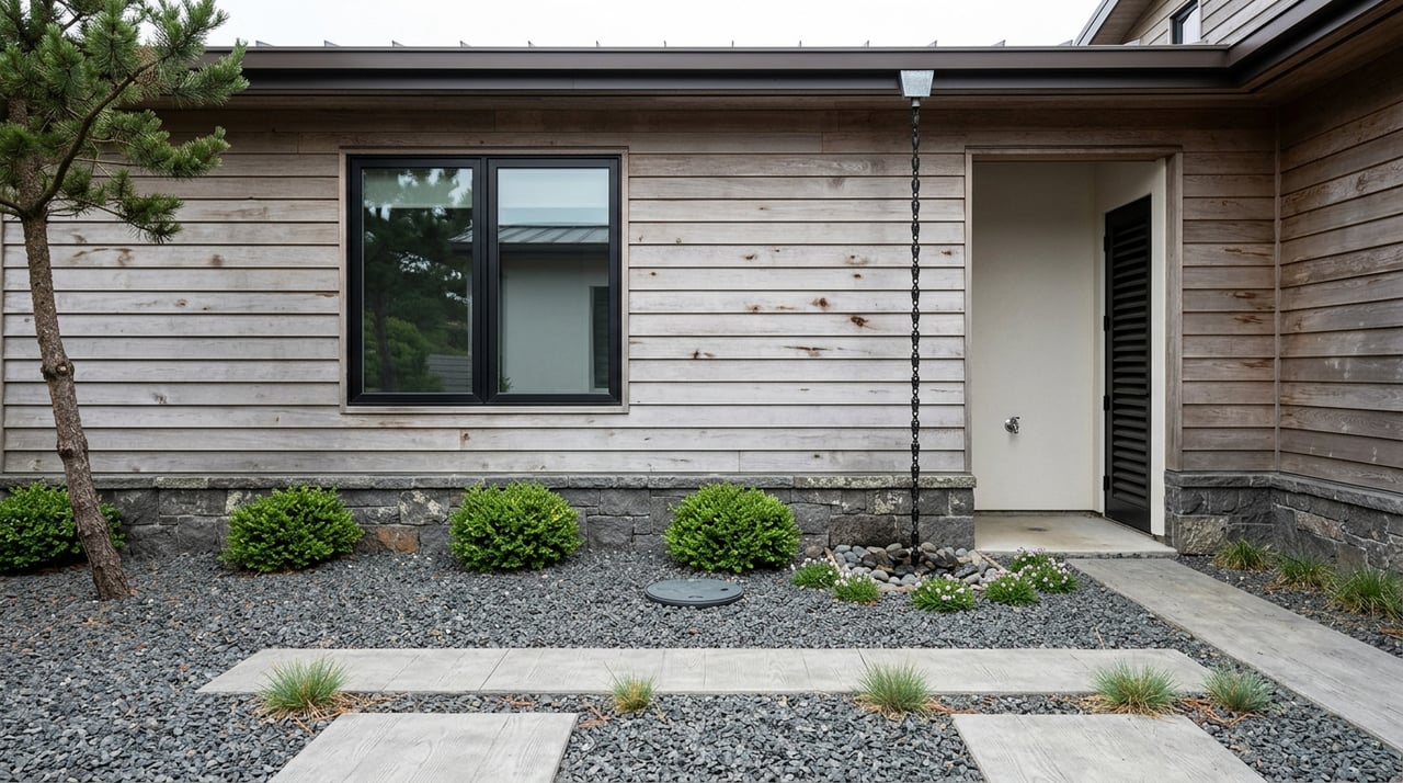
Landscaping choices
On exposed bluffs, select wind- and salt-tolerant plants and consider layered windbreaks. In protected coves, you can expand your plant palette and use species that prefer warmer, less windy conditions. Foggy sites often have higher surface moisture, so adjust irrigation and drainage accordingly.
Risk, insurance, and due diligence
Wildfire and vegetation
Wildfire risk rises inland where chaparral and forest fuels are dominant. Coastal parcels near dense forested slopes have different fuel profiles than open grassy bluffs. Review your parcel on the Cal Fire Fire Hazard Severity maps and follow local defensible space guidance.
Coastal erosion, flooding, and sea level
Bluff-top properties can experience long-term cliff retreat and episodic failures during big storms. Low-lying areas and coastal access roads face flood and wave exposure, especially as sea level rises. Use the FEMA Flood Map Service Center and the NOAA Sea Level Rise Viewer to visualize scenarios, and consult USGS coastal change science for shoreline and slope-stability context. For bluff-edge parcels, a geotechnical assessment is wise.
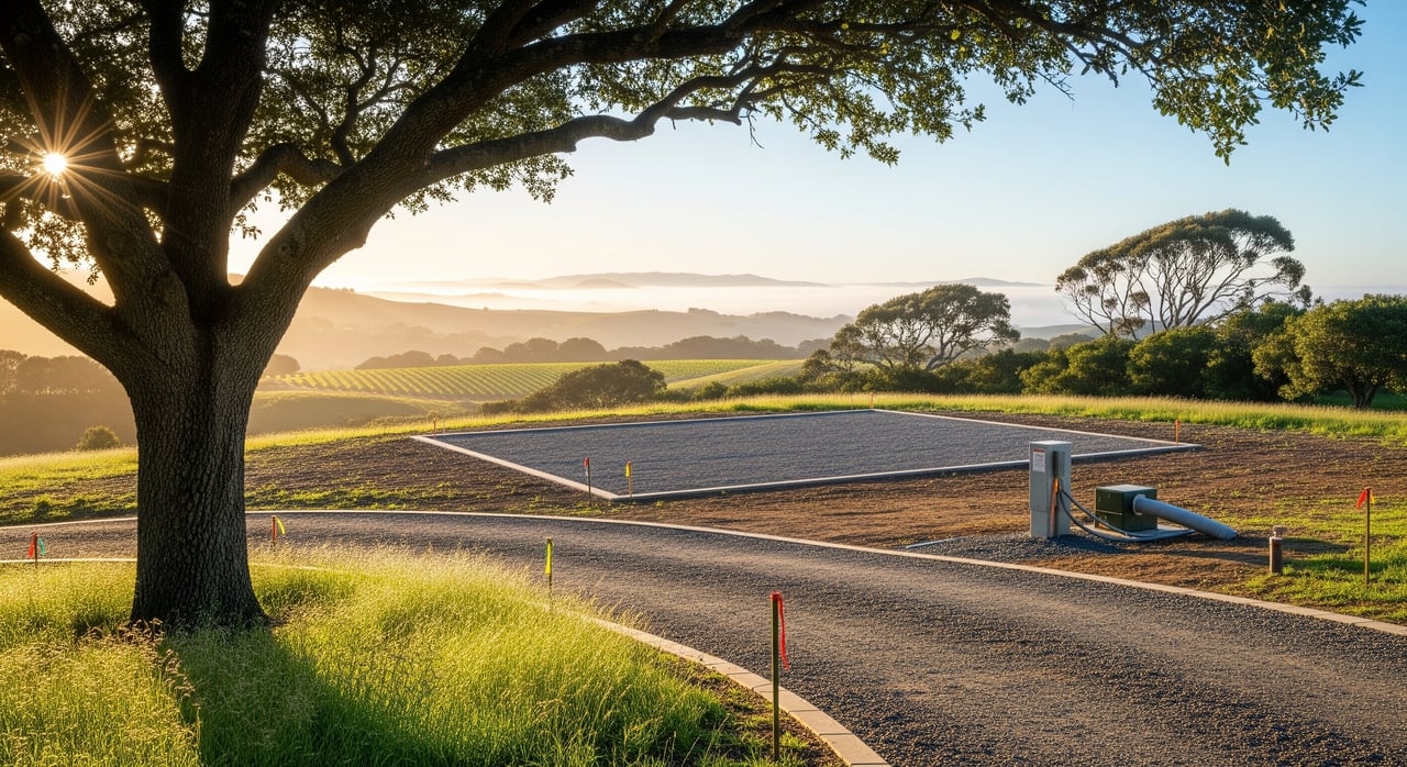
Septic, wells, and drainage
High groundwater in foggy valley bottoms can affect septic performance. On cliff-top sites, shallow soils and salt exposure can complicate foundations and utilities. Plan for appropriate drainage, routine system checks, and site-specific engineering where needed.
Buyer and seller checklist
- Visit the property in morning fog, mid-day sun, and evening winds. Repeat in a different season if possible.
- Review county parcel, slope, and aspect layers through Sonoma County GIS and Planning. If near the county line, also consult Mendocino County planning resources.
- Check your parcel on the Cal Fire Fire Hazard Severity maps and understand local defensible space rules.
- Evaluate flooding and coastal exposure with the FEMA Flood Map Service Center and NOAA Sea Level Rise Viewer.
- Ask for a history of salt, wind, and moisture-related maintenance, including corrosion of fasteners, deck hardware, and HVAC equipment.
- If you are near a bluff, obtain past erosion reports and consider a geotechnical review.
- Confirm septic and well suitability, especially in valley bottoms with high groundwater or poor drainage.
- Considering solar? Request an on-site insolation assessment that accounts for fog season and panel cleaning needs.
Tools and local data to use
- Check nearby records and climate normals at the NOAA climate normals site.
- Explore local temperature and precipitation patterns on PRISM climate maps.
- For tides and sea level context, consult NOAA Tides and Currents.
- For daily marine forecasts and wind trends, use the National Weather Service Bay Area forecast office.
- For parcel planning and hazard layers, use Sonoma County GIS and Planning.
- Review wildfire hazard and land cover through Cal Fire FRAP.
- Visualize coastal flood scenarios with the NOAA Sea Level Rise Viewer and cross-check with the FEMA Flood Map Service Center.
- For shoreline change and slope-stability indicators, reference USGS coastal change science.
Looking ahead
Coastal microclimates respond to changes in ocean temperature, upwelling strength, and large-scale weather patterns. Research points to possible shifts in summertime fog in parts of California, rising sea levels, and greater inland wildfire risk as the climate warms. Parcel-specific trends vary, so rely on local datasets and tools like NOAA, PRISM, and county maps when evaluating a specific property.
Ready to match your lifestyle with the right microclimate? Tap a local team that knows each headland, cove, and valley. Reach out to Kennedy & Associates Real Estate for concierge guidance, local vendor connections, and to Receive Exclusive Listings tailored to the Timber Cove to Gualala corridor.
FAQs
How often is summer fog between Timber Cove and Gualala?
- Fog is common from late spring through early fall, with gray mornings and better clearing in sheltered pockets by afternoon; review nearby station history on the NOAA climate normals.
Is my bluff-top home at risk from wind and salt spray?
- Exposed headlands face stronger winds and salt, which speed corrosion and weathering; use corrosion-resistant materials and schedule regular inspections for fasteners, railings, decks, and HVAC.
Is solar a good investment on the Sonoma coast?
- It depends on fog frequency and orientation; south-facing and sheltered sites often produce more, and panels near the ocean will need more frequent cleaning to remove salt and mist.
How can I gauge wildfire risk near redwood and chaparral areas?
- Start with the Cal Fire Fire Hazard Severity maps and follow defensible space guidance; insurance availability and cost may vary with risk level.
What maps show erosion or flood risk near the Gualala River mouth?
- Use the FEMA Flood Map Service Center for flood zones, the NOAA Sea Level Rise Viewer for future scenarios, and USGS coastal change science for shoreline and slope-stability context.
What should I ask about moisture and HVAC during a showing?
- Ask about ventilation and dehumidification, salt-related corrosion history, fastener and deck hardware upgrades, and any mold or rot remediation in damp microclimates.
Are certain plants better for windy oceanfront sites?
- Yes; choose wind- and salt-tolerant species and consider windbreaks; sheltered coves support a wider plant palette and different irrigation needs than exposed bluffs.