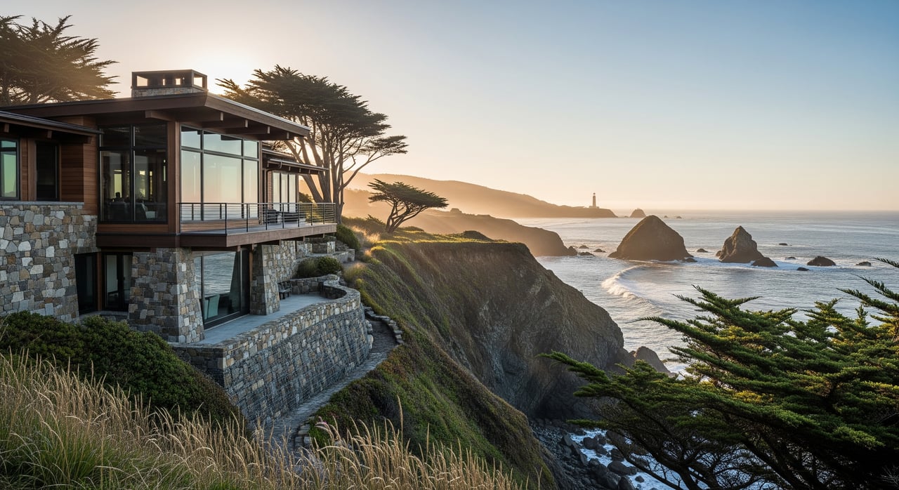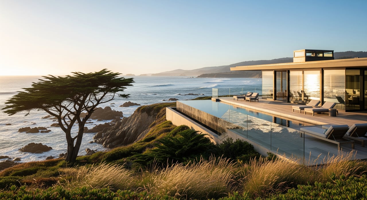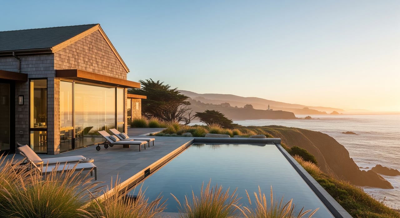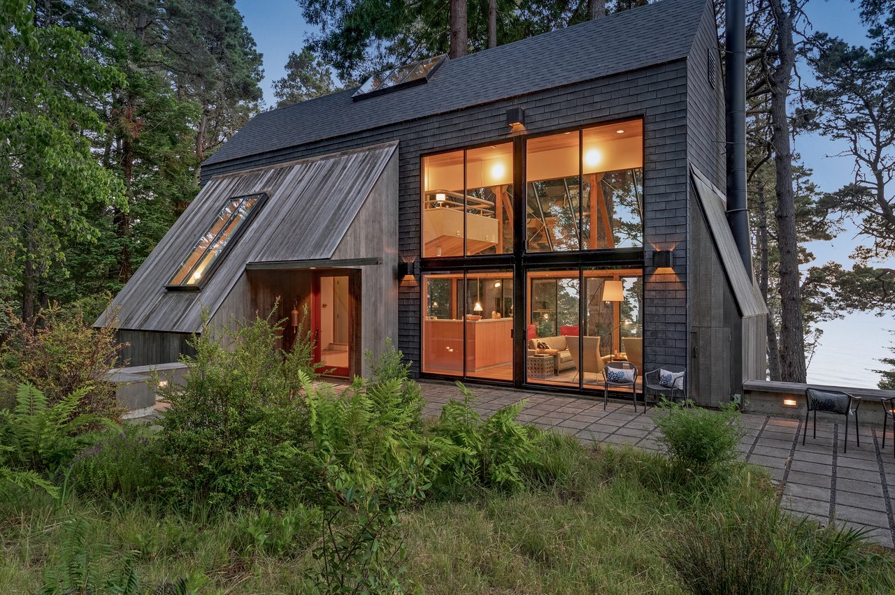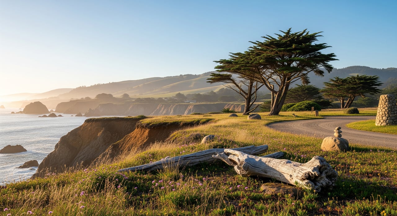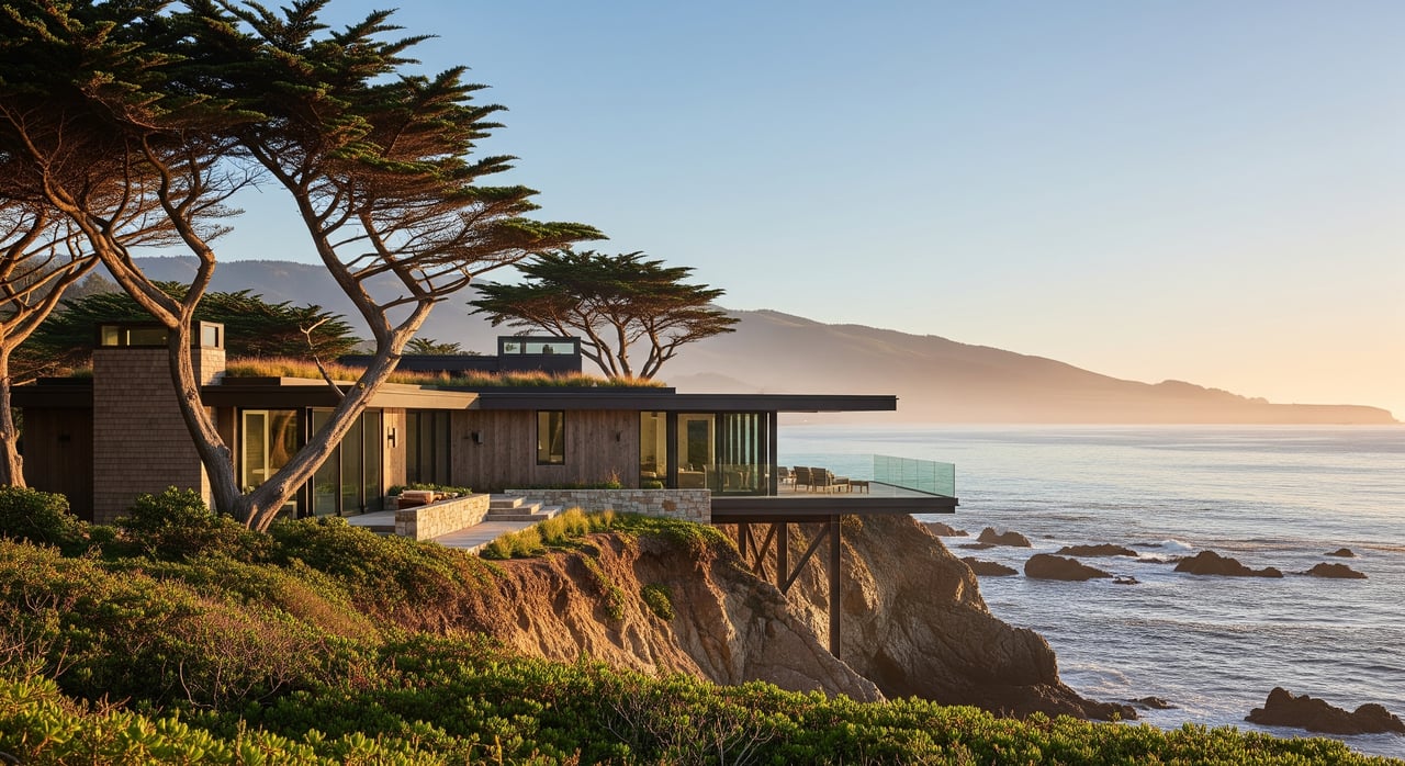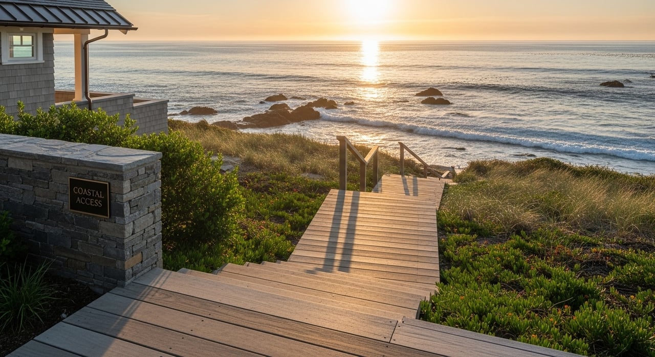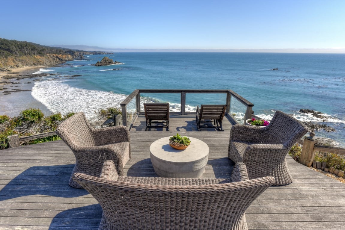
Drive north out of Gualala on a July afternoon and the fog usually finds you first. It sits gray and low over the highway, thick enough that oncoming cars run their headlights at two in the afternoon. Then, a few miles up, right around the bend where Anchor Bay Campground meets Highway 1, the sky opens. The gray peels back like a curtain. Locals do not treat this as a coincidence or a lucky afternoon. They call it the Banana Belt, and it happens often enough that people who live here plan around it without thinking twice.
What is less well known, even among people who have lived on this coast for years, is why it happens here and nowhere else nearby. The answer is not luck or elevation or some quirk of the redwoods. It is the shape of the coastline itself, and once you understand the mechanism, a handful of things about daily life in Anchor Bay start to make more sense: the beach that disappears and returns every year, the coffee shop that is closed two days a week for no obvious reason, and the restaurant that only opens its doors after four in the afternoon.
The Bend in the Coast That Changes the Wind
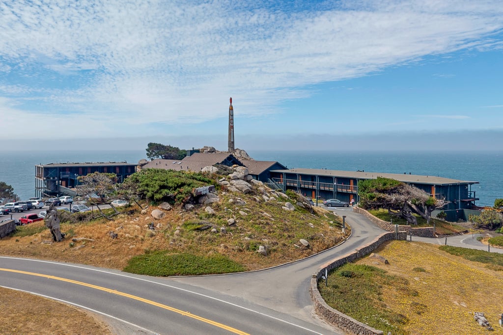
The people who run Anchor Bay Campground have been explaining the mechanism to guests for decades, and it comes down to the angle of the shoreline. The coast from Point Arena down to Bodega Bay generally faces toward the southwest. Anchor Bay sits inside a bite carved into that coastline, angled enough to face even farther south than the shore around it. That extra rotation matters because the region's most persistent wind blows out of the northwest, the same wind that reaches gale force elsewhere on this coast and pushes fog straight onto the beaches it hits. At Anchor Bay's more southerly angle, that same northwest wind runs close to parallel with the shore instead of hitting it head on, and the campground itself describes the effect as functionally offshore, keeping the fog from drifting in even while it rolls thick over Gualala to the south and Point Arena to the north.
It is a real, mapped feature of this stretch of coast, not a marketing phrase invented for tourists. Ask anyone who has driven this road enough times to know exactly where their windshield wipers usually turn off.
The Same Shelter That Once Held 175 Ships
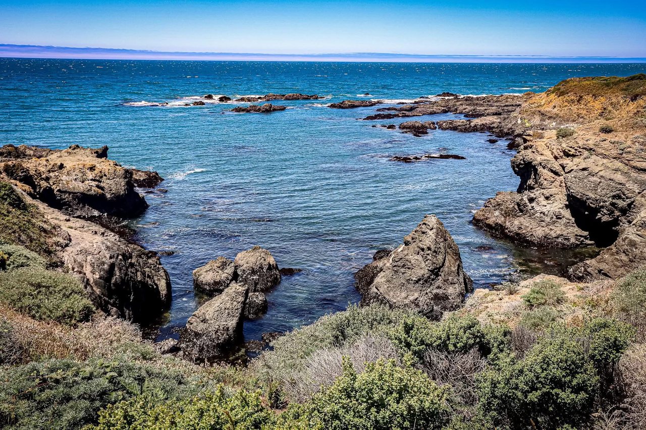
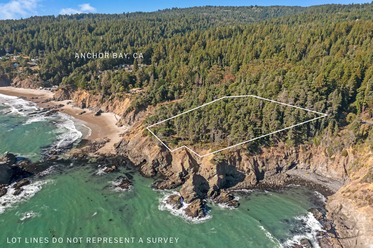
The geography that keeps the fog at bay is the same geography that made this cove valuable a century and a half before anyone cared about sunbathing. Mid-1800s settlers called the spot Fish Rocks Landing, and by the time the Coast Guard surveyed the coast in 1853, it had been renamed Havens Anchorage after one of the survey officers. The bay's protection from the region's punishing northwest swell made it one of the coast's dogholes, the small, exposed anchorages where lumber schooners loaded tanbark and railroad ties cut from the surrounding forest. At its busiest, as many as 175 boats anchored here at once, close enough together that a captain could lose track of which lines belonged to which ship.
It was not a gentle business. At least ten ships wrecked at Fish Rock before 1900, one of them taking a five-man crew down with it. The steam schooner Scotia was the last vessel to use the loading chute, around 1914, closing out more than half a century of doghole shipping at this exact spot. The name Anchor Bay came later, borrowed from a general store built on the bluff above the water, and it eventually replaced Fish Rock as the name most people use for the cove, the beach, and the small community that grew up around them.
A Beach With Two Names and a Season of Its Own
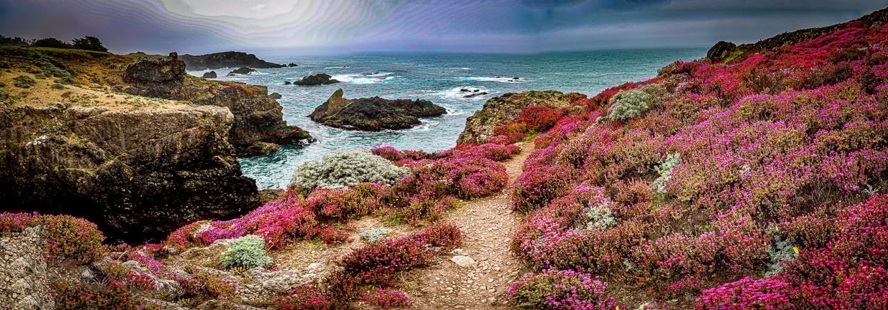
Ask a longtime local what to call the beach in front of the campground and you might get two different answers. Its original placename is Fish Rock Beach, after the town that stood here until it emptied out in the 1920s. Most people now call it Anchor Bay Beach, after the store and the village that outlasted the lumber trade. Either name points to the same half-mile stretch of sand tucked below steep bluffs, and both names show up interchangeably on maps and in conversation.
The beach itself follows a rhythm shaped by the same coastal geometry that keeps the fog away. Winter storms strip it down to bare rock and cobble, sometimes clearing the sand entirely, and then the sand rebuilds naturally over the following months, arriving back roughly the way it left. It is a cycle regular enough that Sunset magazine once ranked it third on a list of the best beaches in the West, sand loss and all. Divers favor the western end near the offshore Fish Rocks, home to a resident colony of California sea lions and thick beds of kelp, while the wreck of the steamship Crescent City, lost near the beach in 1903, still draws experienced divers looking to see it firsthand. Kayakers and small boats tend to launch instead from Chicken Cove, a smaller pocket just west of the main beach where the swell runs gentler and getting off the sand does not require timing a wave.
Business Hours That Follow the Weather, Not the Calendar
Anchor Bay is small enough that its handful of businesses do not run on a typical retail schedule, and the microclimate has as much to do with that as the size of the customer base. A few examples make the pattern clear:
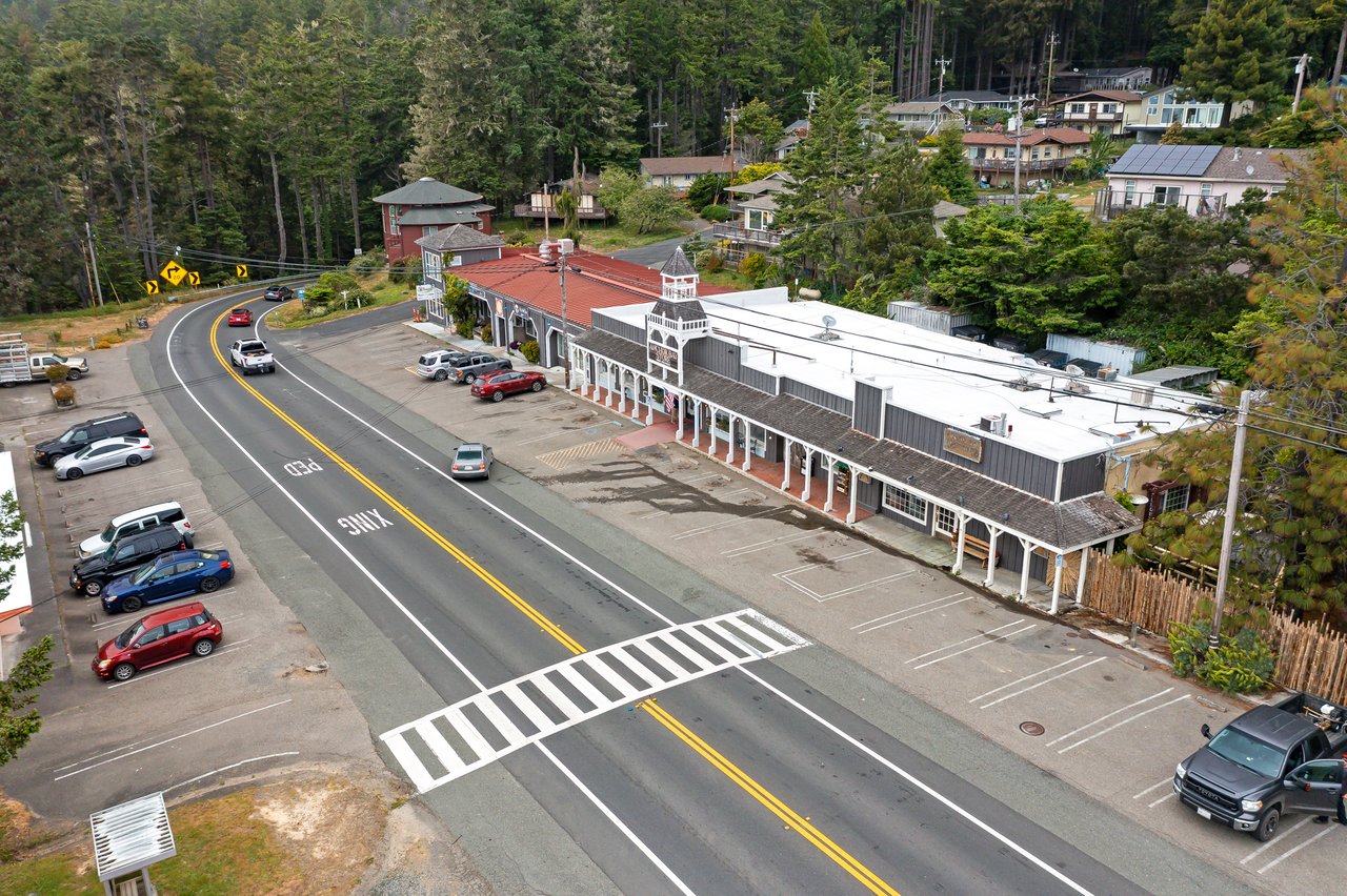
- Anchor Bay Store has operated on this same stretch of highway since 1915, moving to its current spot on the south side of Fish Rock Gulch in 1924. It is the only grocery on this part of the coast that carries Navarro wines alongside its custom-cut meats and organic produce, and it keeps standard daily hours that assume a steady flow of both residents and campground guests.
- Whitecap Coffee and Tea runs a schedule that would confuse anyone used to a normal café: open early morning most days of the week, but closed entirely on Tuesday and Wednesday. It is a schedule built around a small year-round population rather than a full week of steady tourist traffic.
- Anchor Bay Thai Kitchen opens only in the evening, Wednesday through Sunday, and builds its menu around what is actually available that week: local salmon and crab when the boats bring them in, Navarro Pinot Noir and Boont Amber from wineries a short drive inland, and Girasole wines made from organic grapes. It is not a restaurant trying to be open every night. It is one built around what the coast provides.
The campground ties these pieces together. Its 27 sites sit within an easy walk of Whitecap and the village's small handful of restaurants, and it hosts an annual Salmon Derby on the beach each summer, timed to the same season when local salmon and steelhead are running through the water off Fish Rocks. None of this reads like a town trying to maximize foot traffic. It reads like a place organized around its own weather and its own calendar, sun pocket and all.
Knowing Which Five Miles Will Be Clear
None of this changes what the coast looks like on a map. Anchor Bay is still a short stretch of Highway 1 between Gualala and Point Arena, easy to miss if you are not looking for the turnoff. What changes once you understand the mechanism is how you read a foggy day. If Gualala is socked in and Point Arena is worse, the smart move is not to give up on the outdoors. It is to drive the five minutes north and see if the bend by the campground still has its sun.
That kind of local knowledge is not the sort of thing a map or a weather app can tell you. It comes from living here long enough to notice the pattern, or from talking to people who have. Kennedy & Associates has spent decades getting to know this coast one cove at a time, from the doghole history at Fish Rock to the shifting sand at Anchor Bay Beach, and we like sharing what we learn along the way. If you want more of this kind of coastal detail, delivered before it shows up anywhere else, sign up to receive our exclusive listings and neighborhood notes straight from the source.