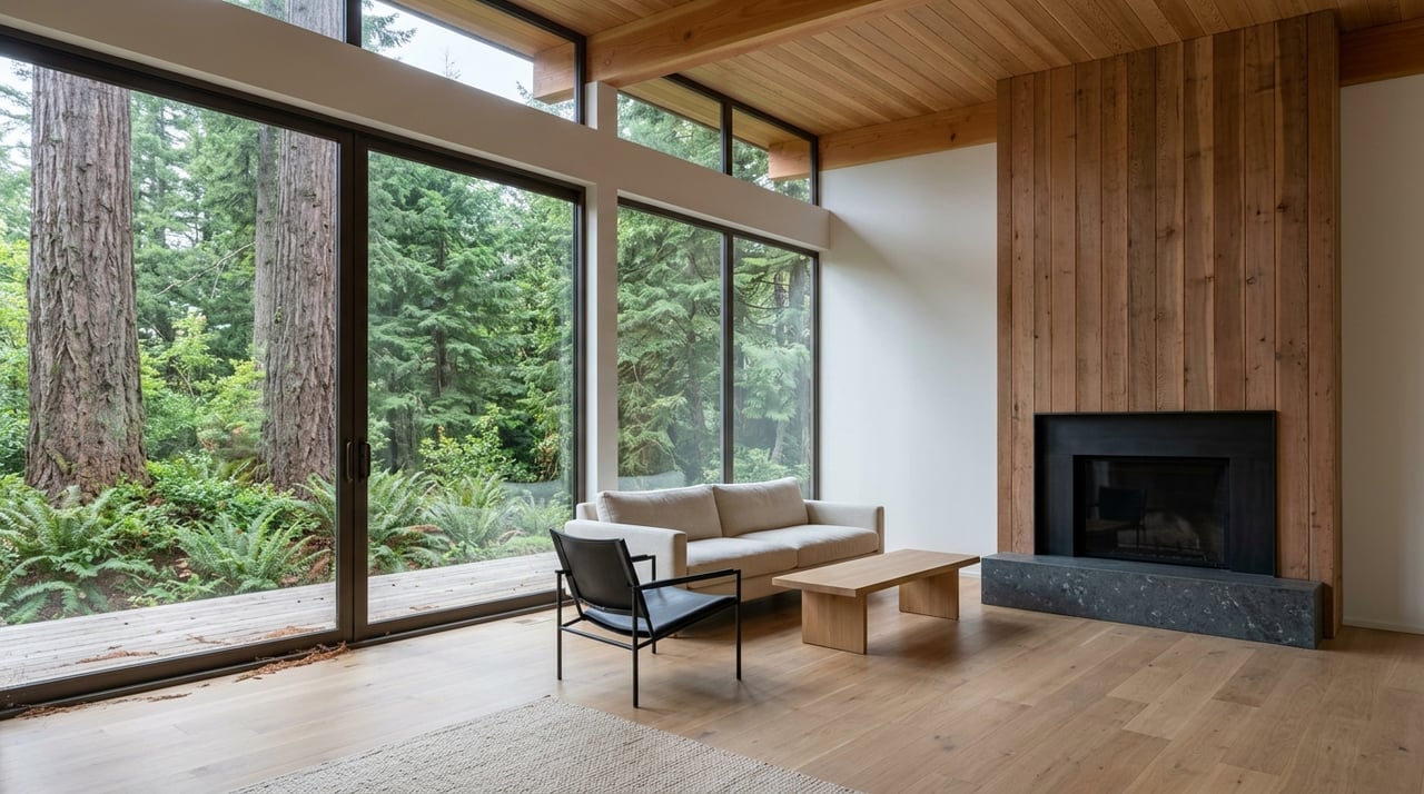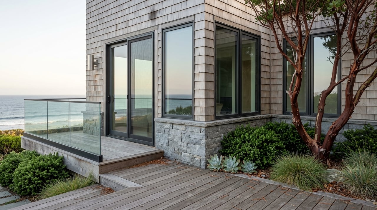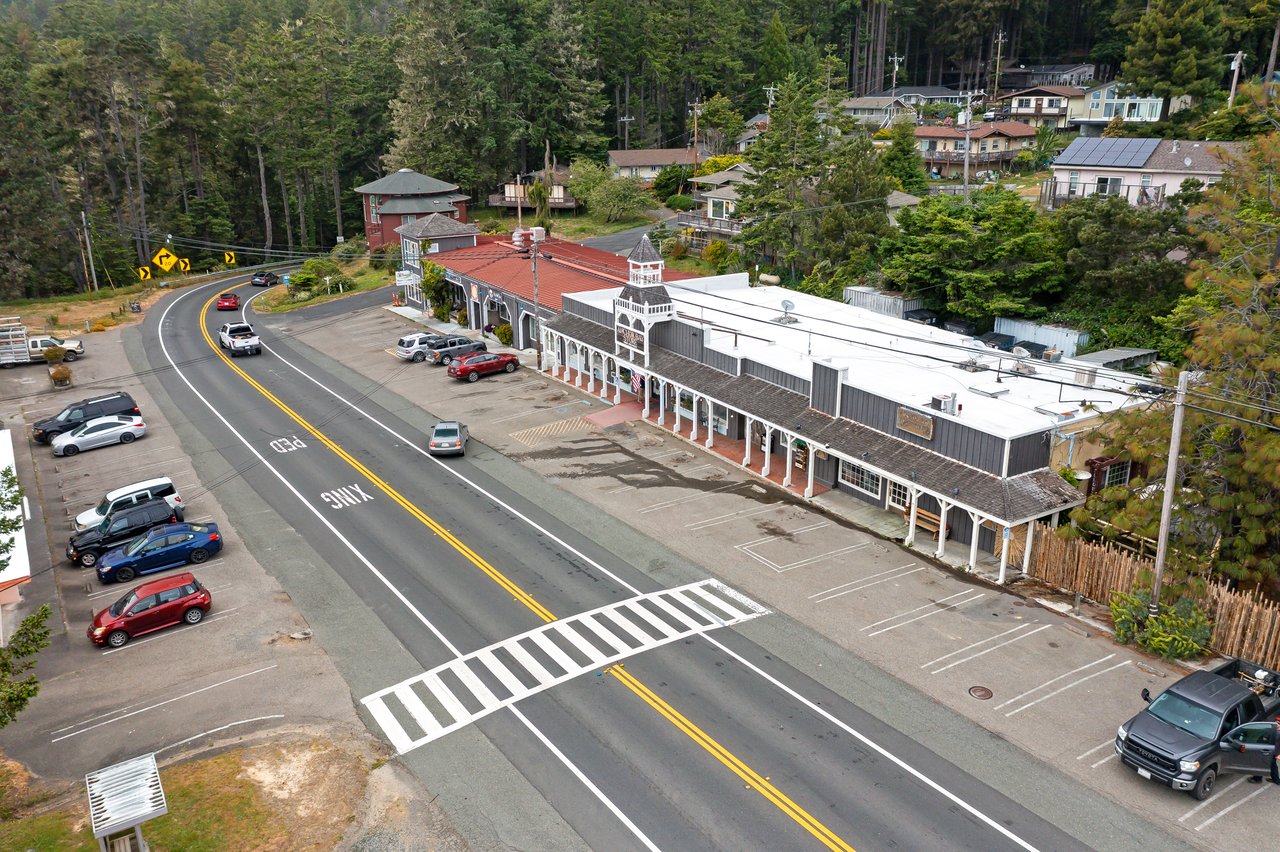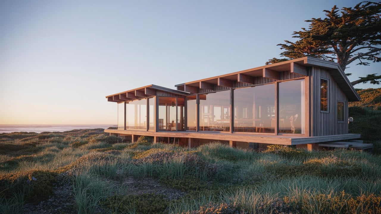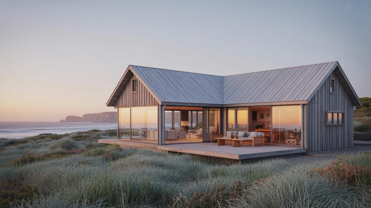
Buying land in Annapolis can feel exciting and a little daunting. You are looking at a beautiful, rural corner of Sonoma County where the rules, roads, and resources are different from town living. This guide gives you the essentials on zoning, access, and utilities so you can confirm buildability, set realistic budgets, and move forward with confidence. Let’s dive in.
Zoning in Annapolis: what to check first
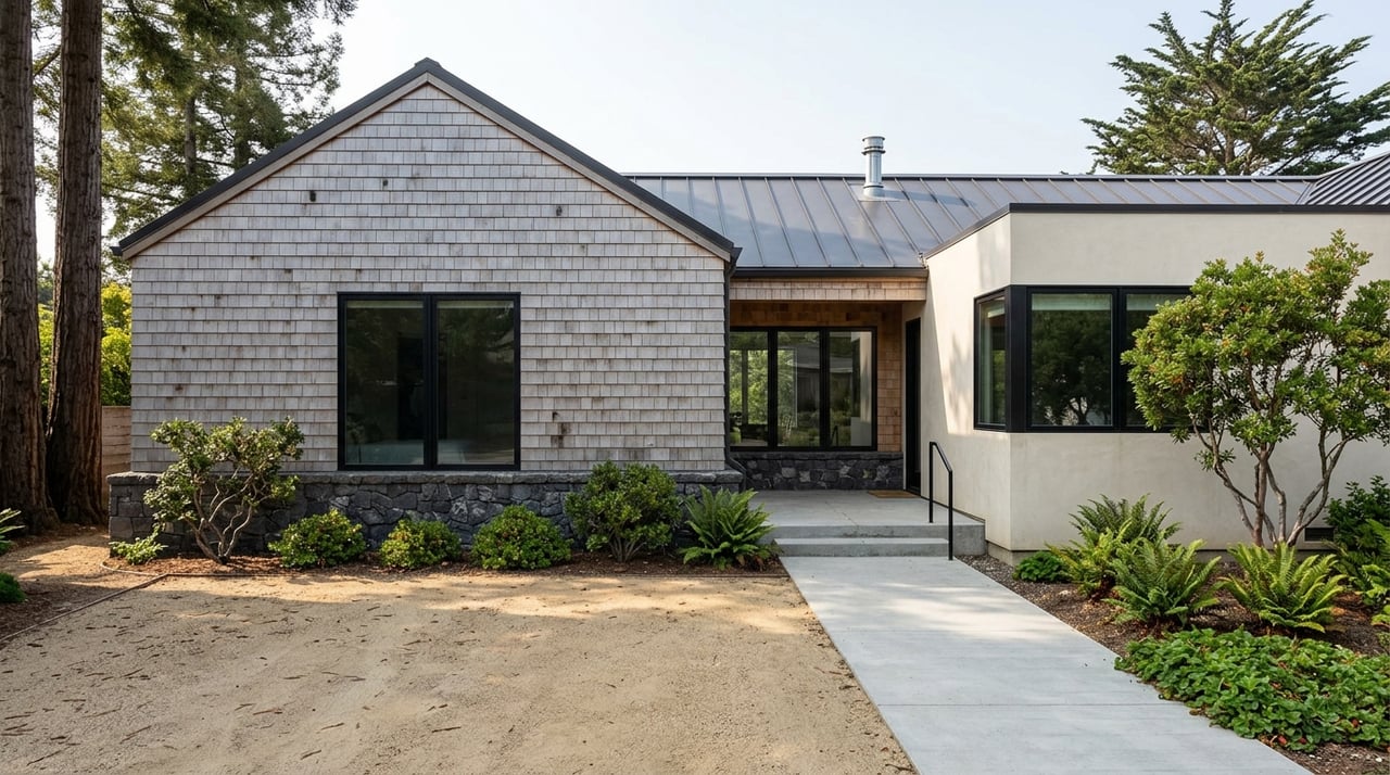
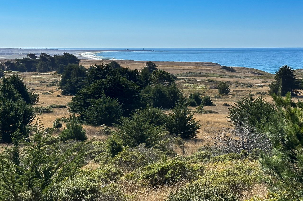
Annapolis sits in unincorporated Sonoma County, so county rules apply. Start by confirming your parcel’s zoning and any overlay designations. Zoning controls what you can build, where you can place it, and which uses are allowed.
Confirm your zoning district
- Identify the zoning district for your parcel and read the permitted and conditional uses. Zoning can range from Rural Residential to Agricultural or Timber.
- Call or visit planning to confirm setbacks, height limits, accessory structures, and any special approvals. Begin with the county’s planning and permitting agency at Permit Sonoma.
Lot size, setbacks, and coverage
- Minimum lot size and density determine if a home is feasible and whether future subdivision is possible.
- Setbacks from property lines and building coverage limits will shape your site plan.
- Ask planning staff to flag any additional standards that apply on coastal or steep parcels.
Is the parcel in the Coastal Zone?
Much of western Sonoma County is inside California’s Coastal Zone. New development often needs a Coastal Development Permit. Early confirmation saves months.
- Review the county’s Local Coastal Program with Permit Sonoma and cross-check with the California Coastal Commission for projects that may trigger state review.
- Expect added environmental review if your site is near bluffs, streams, or mapped habitat.
Overlays and private restrictions
- Environmental overlays can affect placement and timing. Common ones include flood zones, riparian buffers, steep-slope or geologic hazard areas, and mapped habitat.
- Check FEMA flood maps to understand any additional foundation or elevation requirements using the FEMA Flood Map Service Center.
- Private rules also matter. Recorded CC&Rs, road association bylaws, and utility easements can limit building areas or uses. Your title report will identify these documents.
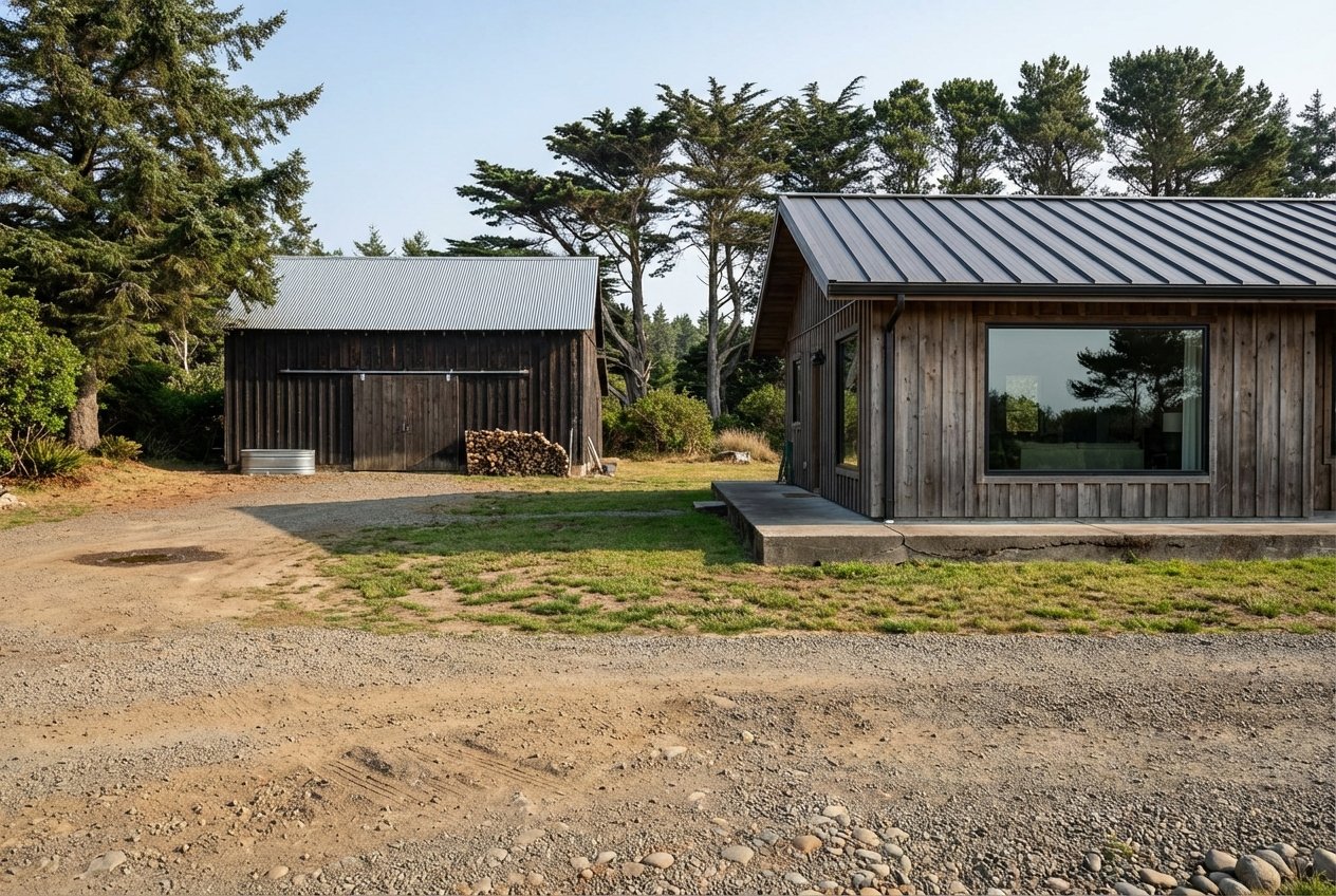
Access and easements: prove you can reach it
In rural Annapolis, you need both legal and physical access, plus a plan for year-round maintenance.
Public vs private roads
- Confirm whether access is via a public road or a private road/easement. Private roads are common and often require shared maintenance.
- Ask for recorded maintenance agreements and cost-sharing details so you can budget for grading, culverts, or seasonal repairs.
Physical access and encroachment
- Inspect the road width, slope, and surface. Coastal rain and wind can create slides, ruts, and washouts.
- If a new driveway connects to a public road, you may need a county encroachment or driveway permit.
- Verify there are no fences, gates, or structures blocking recorded access.
Survey and title confirmation
- Order a boundary or ALTA survey to confirm exact lines, easements, and any encroachments.
- Your preliminary title report should identify rights of way, utility easements, and any recorded restrictions.
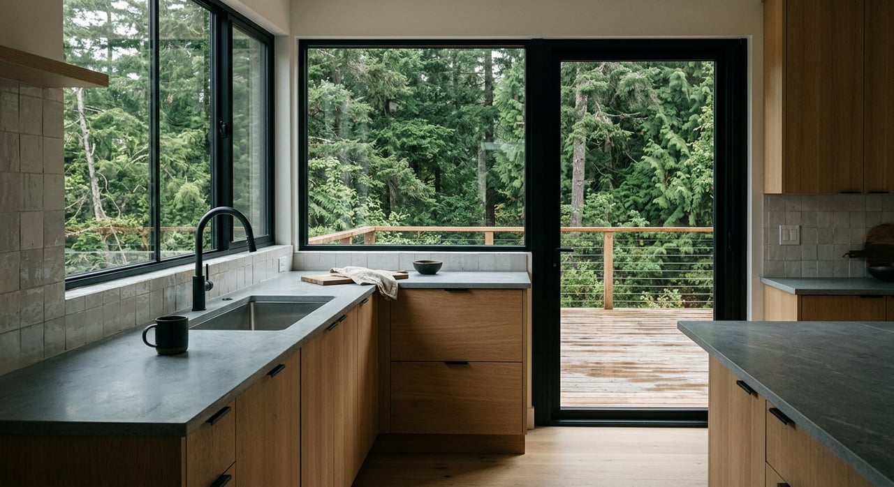
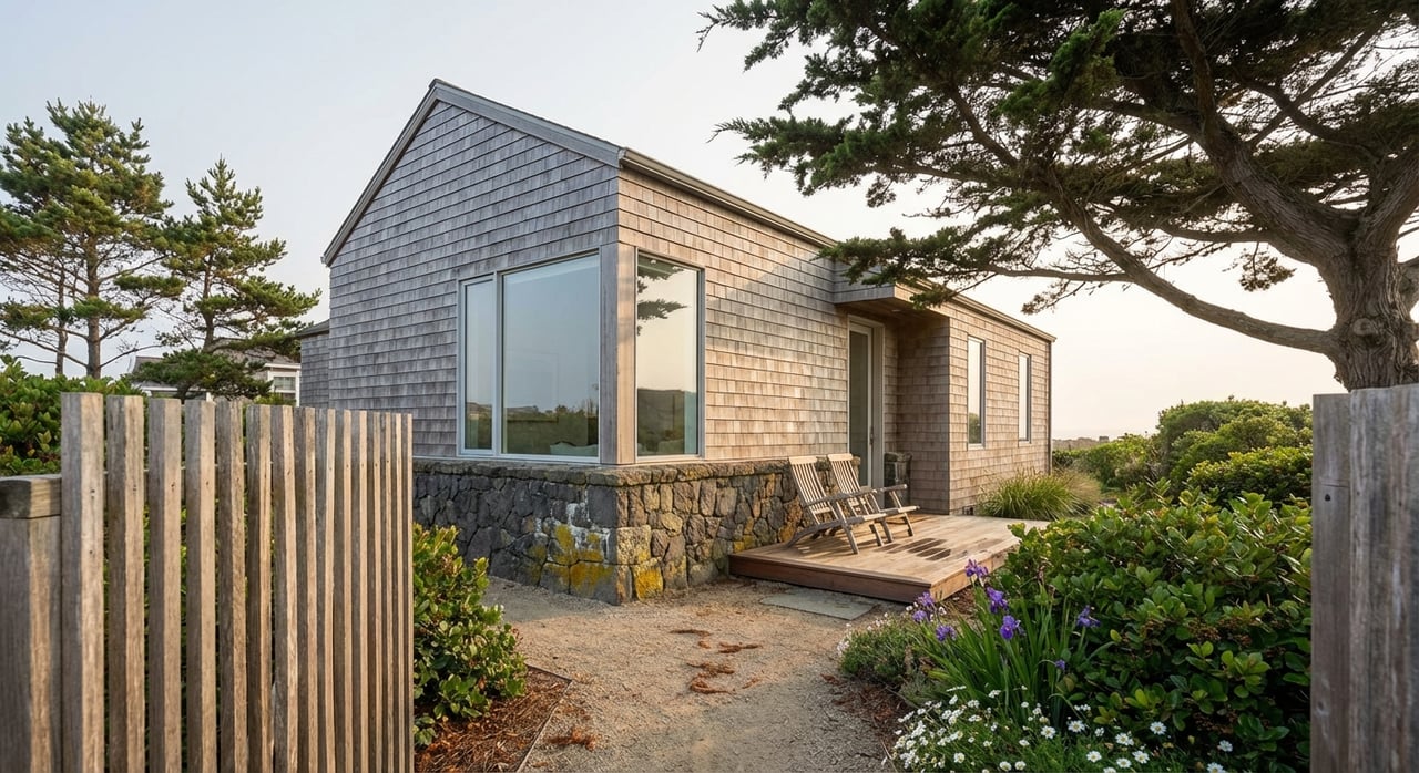
Utilities and on-site services: what is realistic
Most Annapolis parcels are off-grid from city services. Plan for private wells, septic systems, and a combination of electric, propane, and modern wireless options.
Water: private wells and mutual systems
- Many parcels rely on a private well or a small mutual water company. Ask for well logs, pump tests, and water quality results if available.
- County Environmental Health reviews well permits and standards through Permit Sonoma. Expect minimum yield and water quality requirements for domestic use.
- If served by a mutual water company, confirm membership, capacity, and any connection or extension fees.
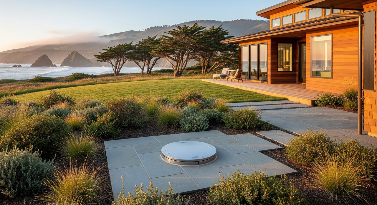
Wastewater: septic/OWTS feasibility
- Most parcels require an onsite wastewater system. Feasibility depends on soil type, depth to bedrock, groundwater, slope, and setbacks from wells and streams.
- Plan for a soils evaluation or percolation test and space for both the primary leach field and a reserve area.
- Complex sites may need engineered treatment systems approved by Environmental Health via Permit Sonoma.
Electricity and gas
- Electricity is typically served by PG&E. Confirm if a service drop is present or if a mainline extension is needed by contacting PG&E.
- Remote sites may face significant extension costs. Get a written estimate early.
- Natural gas is uncommon. Most owners use propane for heating and cooking.
Broadband, phone, and cellular
- Wired broadband can be limited in rural coastal areas. Options may include fixed wireless, cellular-based internet, or satellite.
- Coverage varies by micro-location. When possible, test cell signal on site and ask neighbors about providers.
Trash and drainage
- Confirm local hauler availability or whether owners typically haul to transfer stations.
- New development often requires a grading and drainage plan with erosion control best practices.
Site hazards and insurance considerations
Understanding hazard mapping helps with site planning, permitting, and insurance budgeting.
Flood zones and drainage
- Use the FEMA Flood Map Service Center to check flood risk. Flood zones can influence foundation design and insurance premiums.
Wildfire risk and defensible space
- Western Sonoma County is wildfire-aware. Check Fire Hazard Severity Zone maps and defensible space guidance with CAL FIRE.
- Some parcels require ignition-resistant construction and vegetation management to meet code and insurance requirements.
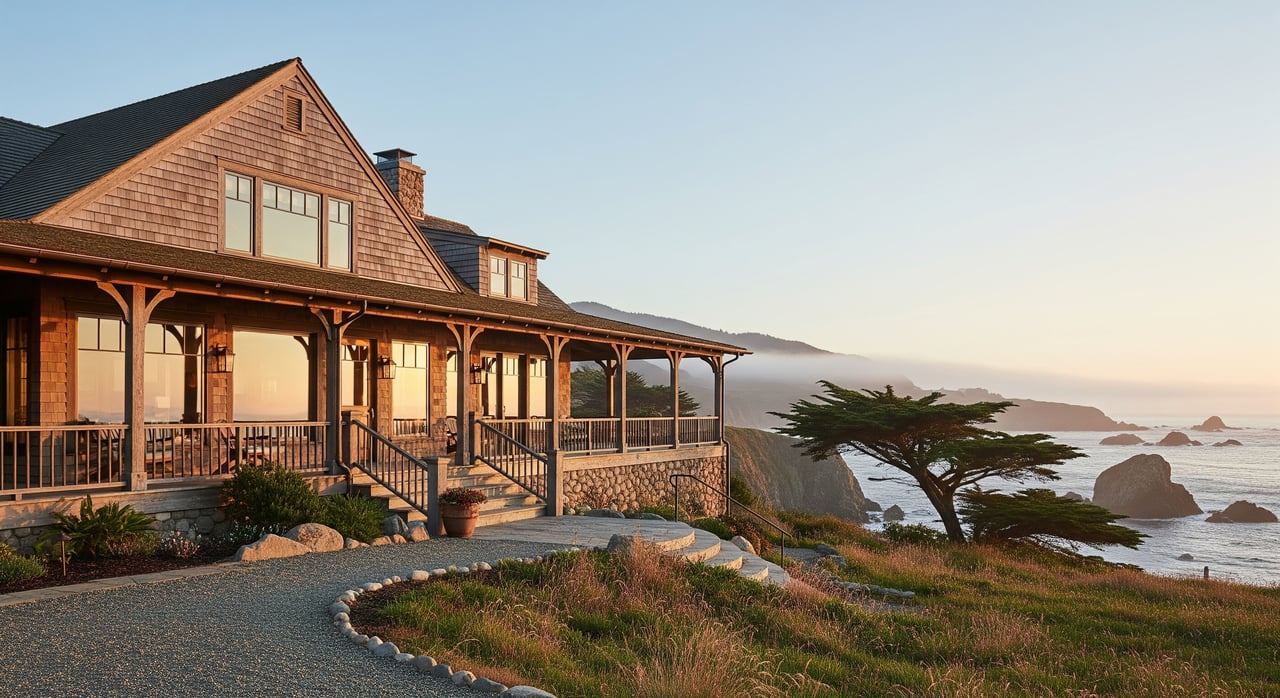
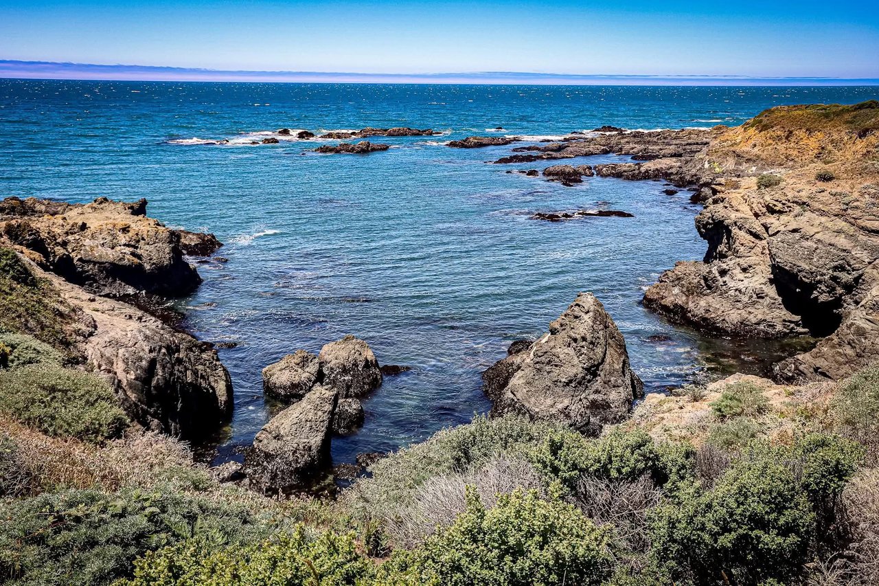
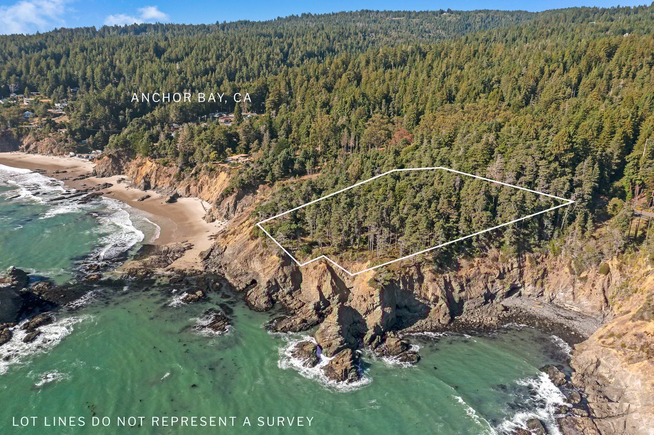
Coastal bluffs, erosion, and geotech
- Parcels near bluffs or steep slopes may require a geotechnical assessment. Expect conservative setbacks and seasonal work windows.
- Drainage and stormwater controls are often part of the engineering package.
Wetlands, streams, and habitat
- Wetlands and streams can reduce buildable area and add permitting steps. Depending on the site, the U.S. Army Corps or Regional Water Board may be involved. Learn more at the U.S. Army Corps of Engineers and the State Water Resources Control Board.
- Biological surveys may be required to protect sensitive species and habitats.
A practical due diligence timeline
Follow a clear sequence to minimize surprises and control costs.
Step 1: Preliminary parcel research
- Pull a preliminary title report to confirm ownership, easements, CC&Rs, and liens.
- Check zoning and whether the parcel lies in the Coastal Zone with Permit Sonoma and the California Coastal Commission.
- Review available maps for flood, slope, and known environmental overlays.
Step 2: Site feasibility studies
- Order a boundary survey if lines are unclear or easements are complex.
- Schedule a soils evaluation or percolation test, and review any existing well logs or plan a pump test.
- Commission a geotechnical report for sloped, bluff-adjacent, or geologic hazard areas.
- If wetlands or sensitive habitat are suspected, engage a qualified biologist for an assessment.
Step 3: Utilities and access verification
- Contact PG&E for electric service availability and extension estimates.
- Confirm well and septic permit pathways with Permit Sonoma’s Environmental Health staff.
- Verify mutual water membership, trash service options, and realistic broadband providers.
- Inspect access conditions, confirm recorded road maintenance agreements, and evaluate culverts or bridges.
Step 4: Entitlements and permits
- Ask Permit Sonoma about the likely permit set: septic, well, grading, building, driveway, and whether a Coastal Development Permit is required.
- Consider a pre-application meeting to identify studies, conditions, and timelines upfront.
Step 5: Build your professional team
- Land-use attorney or consultant for complex entitlement or CC&R questions.
- Civil and geotechnical engineers for septic, drainage, and foundations.
- Licensed surveyor for boundaries and easements.
- Qualified well driller and pump tester, plus a septic designer or engineer.
- Biologist for wetlands or habitat delineations if needed.
Step 6: Budget and timeline planning
- Add contingency for surprises like deep bedrock, engineered septic, or long electric runs.
- Allow extra time if a Coastal Development Permit, biological mitigation, or geotechnical work is required.
- If financing land, confirm lender requirements and timelines early.
Typical costs and timelines in rural Sonoma
Every parcel is unique, yet most buyers encounter a similar pattern of costs and time. The figures below are typical ranges for rural coastal parcels and will vary by site and scope.
- Studies and permits: Soils and septic feasibility often run from many hundreds to a few thousand dollars. Geotechnical and biological reports commonly cost several thousand dollars depending on scope.
- Infrastructure: Well drilling can reach the tens of thousands. Septic systems range from mid-to-high thousands, rising to tens of thousands for engineered systems. PG&E line extensions can range from several thousand to tens or even hundreds of thousands depending on distance and terrain.
- Roads and drainage: Driveway improvements, culvert work, or private road repairs can be substantial, especially after winter storms.
- Timelines: Parcels with existing utilities and approved septic can move through building permit review in months. Parcels needing discretionary review or a Coastal Development Permit can take several months to a year or more.
Tips for sellers of Annapolis land
If you are selling land, assembling documentation upfront can shorten timelines and increase buyer confidence.
- Gather permits and records: well logs, pump tests, water quality results, septic permits, perc tests, and any as-built plans.
- Provide access details: recorded easements, road association agreements, and any maintenance history.
- Share utility information: PG&E status, transformer or meter location, and any extension estimates.
- Include prior studies: surveys, geotechnical reports, biological assessments, and drainage plans.
Why local guidance matters
Rural coastal parcels are rewarding, yet they require a steady hand and a tested process. You want an advisor who understands Annapolis zoning, Coastal Zone permitting, private road realities, and the true cost of utilities. Our team lives and works along this coast and can connect you with trusted surveyors, engineers, well and septic professionals, and utility contacts. When you are ready, reach out to Kennedy & Associates Real Estate for local guidance and to receive exclusive listings that match your goals.
FAQs
What zoning rules apply when buying land in Annapolis, Sonoma County?
- Annapolis is unincorporated, so county zoning applies. Confirm district, setbacks, and use standards with Permit Sonoma, and check if the parcel lies in the Coastal Zone.
How do I confirm if my Annapolis parcel is in the California Coastal Zone?
- Ask planning staff to review Local Coastal Program maps and cross-check with the California Coastal Commission. Many west-county parcels require a Coastal Development Permit.
What proves legal access to a rural Annapolis parcel?
- A recorded easement or direct frontage on a public road confirms legal access. Verify with a preliminary title report and consider a boundary or ALTA survey to map easements and encroachments.
How do I know if a septic system will work on my land in Annapolis?
- Order a soils evaluation or percolation test and confirm space for the primary and reserve leach fields. Environmental Health at Permit Sonoma reviews septic feasibility and permitting.
What should I check for electricity on an undeveloped parcel in Annapolis?
- Ask PG&E if a service point exists and request an estimate for any line extension. Long runs across difficult terrain can be costly, so get numbers early.
Where can I check flood and fire hazards for land near the Sonoma coast?
- Use the FEMA Flood Map Service Center for flood zones and CAL FIRE for Fire Hazard Severity Zones and defensible space guidance.
Who regulates wetlands or stream impacts on Annapolis parcels?
- Depending on the site, the U.S. Army Corps and the Regional Water Board may require permits. Start with the U.S. Army Corps of Engineers and the State Water Resources Control Board for process overviews.