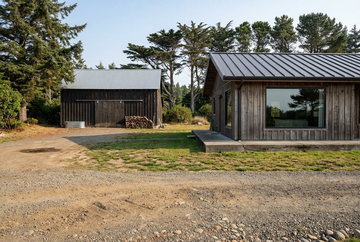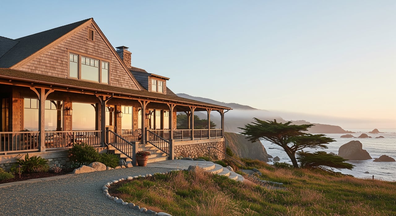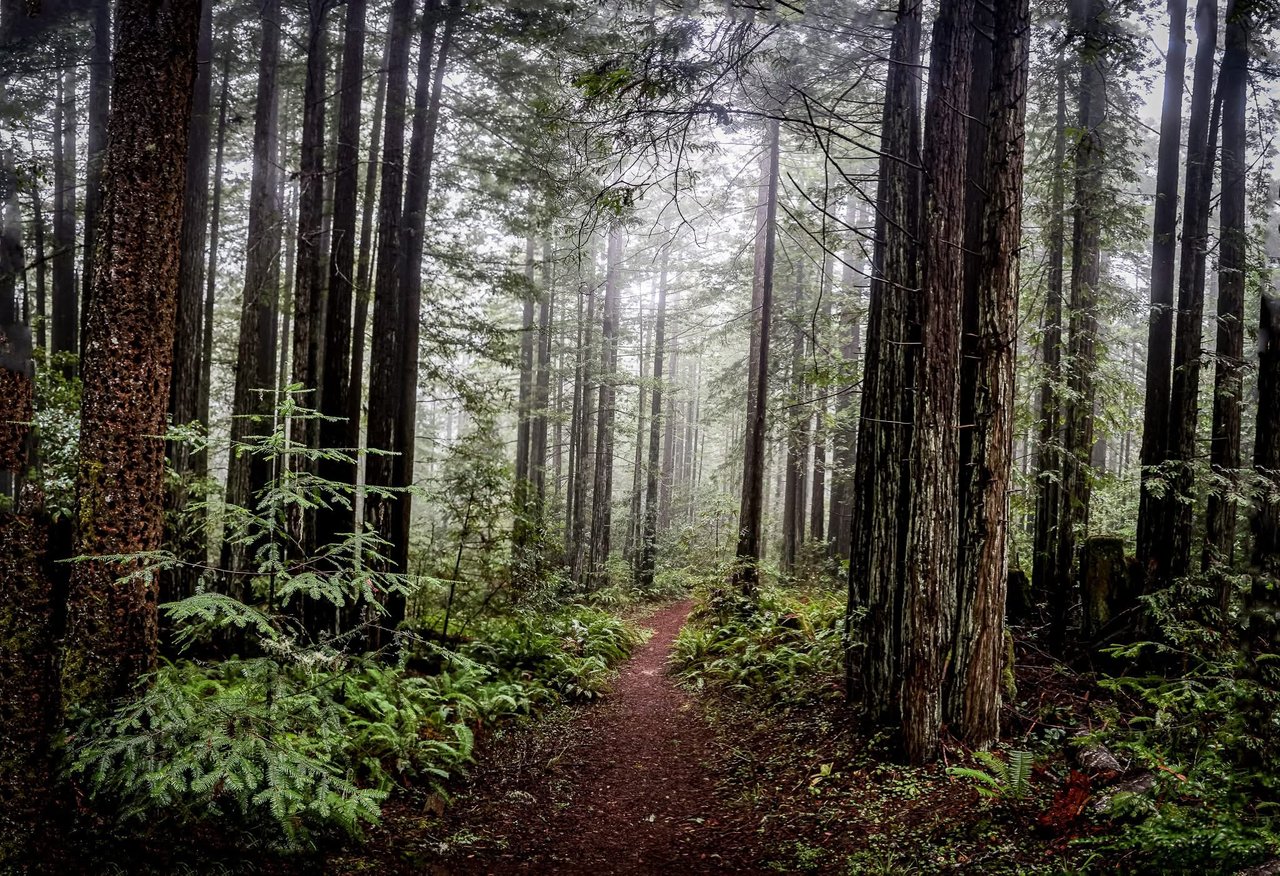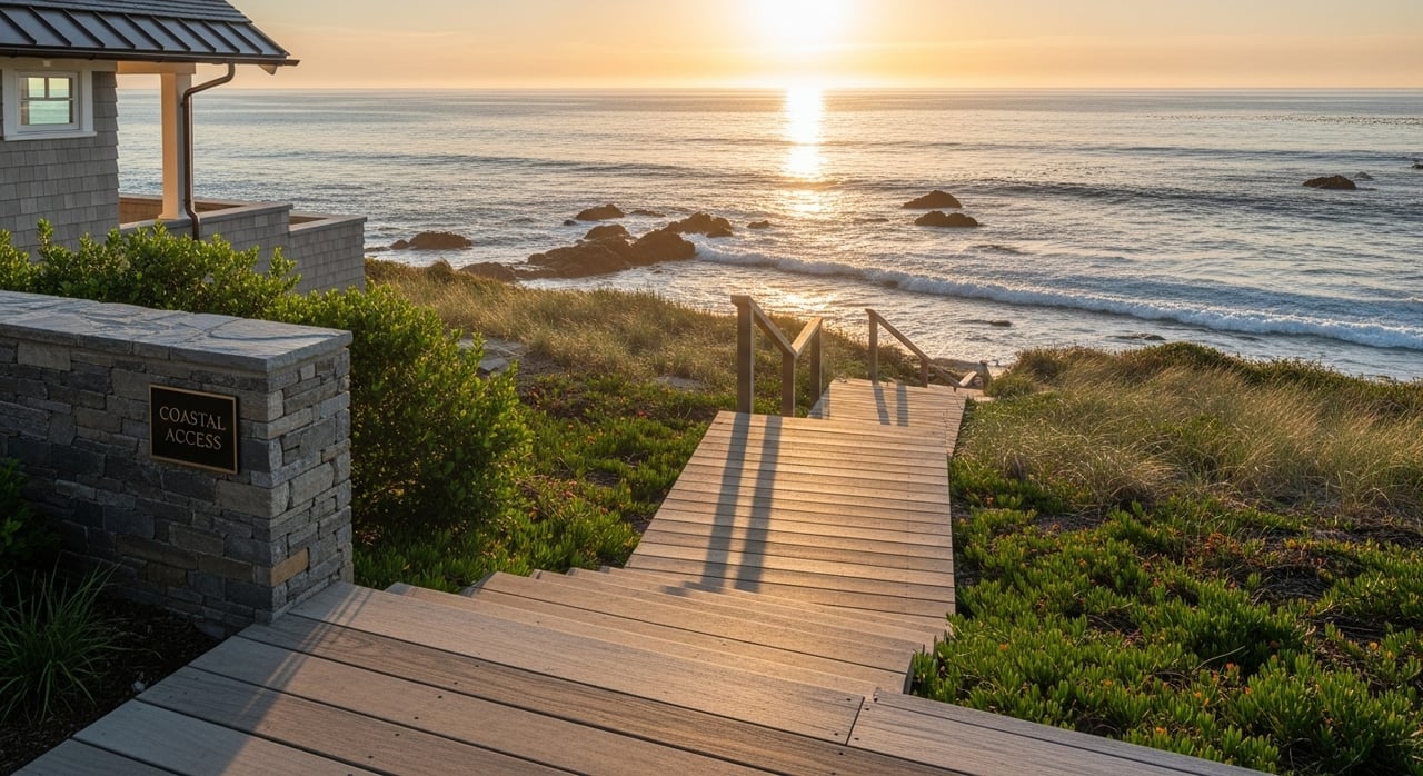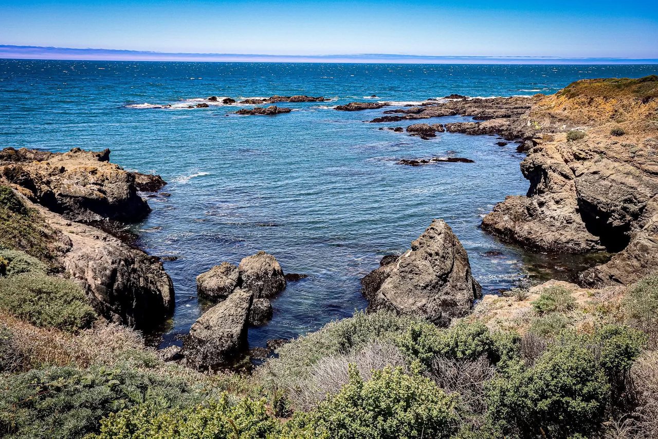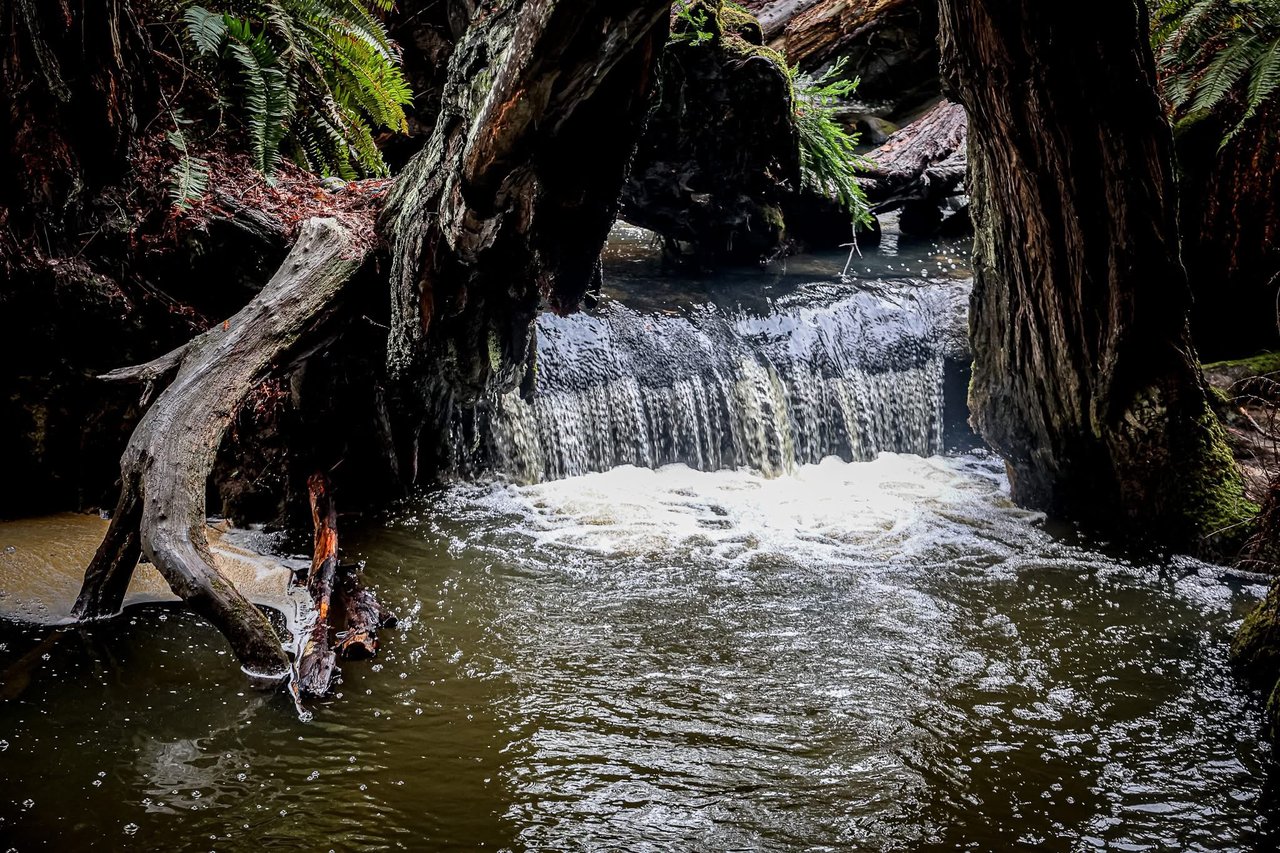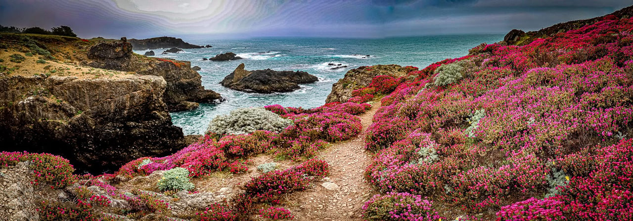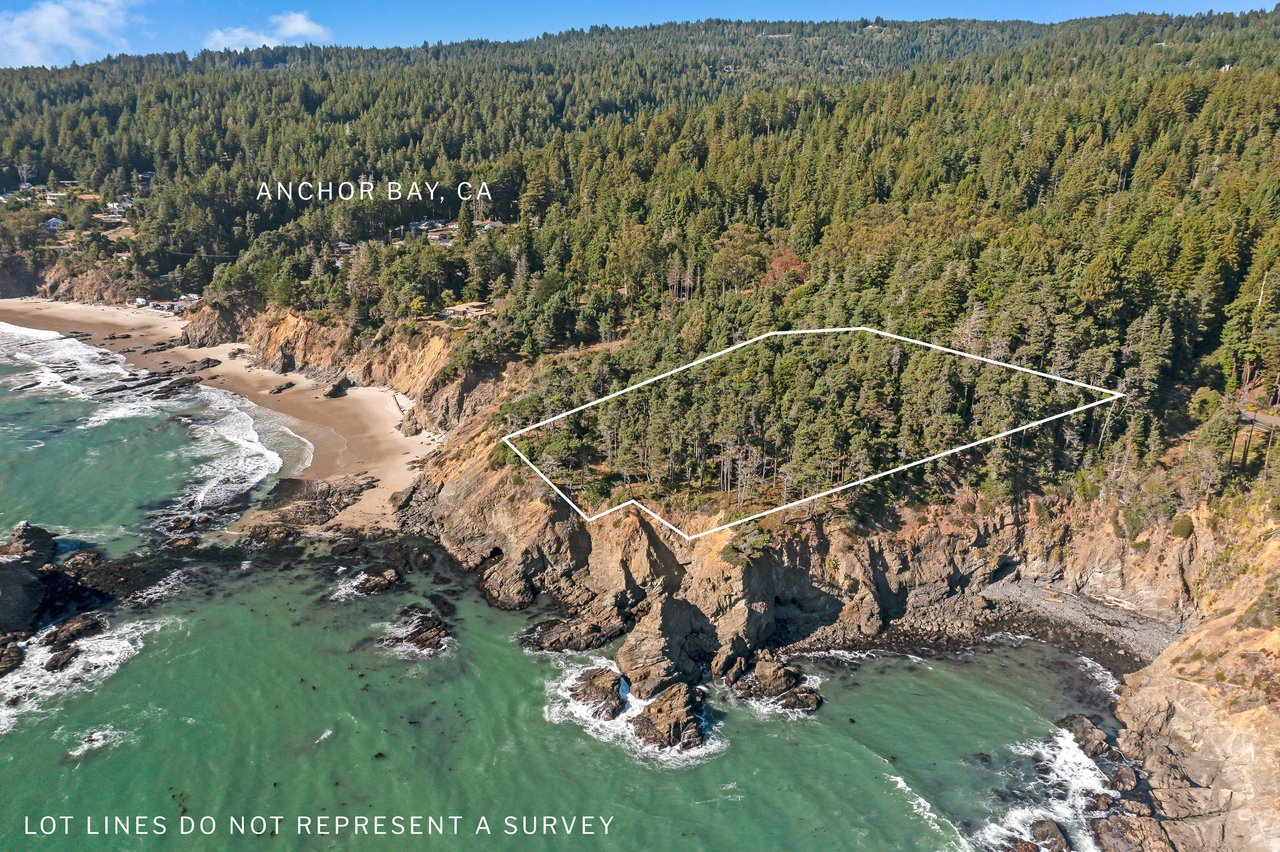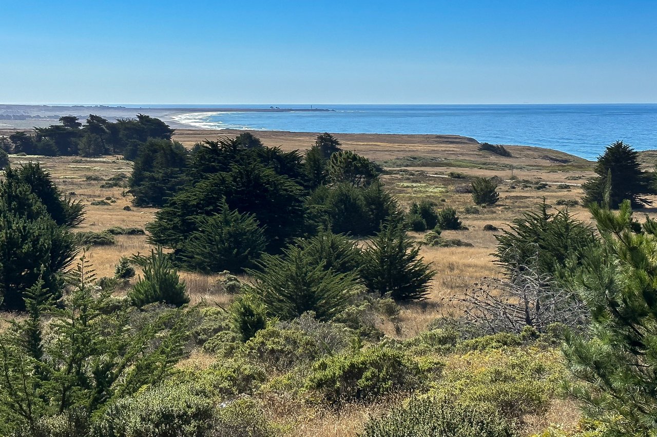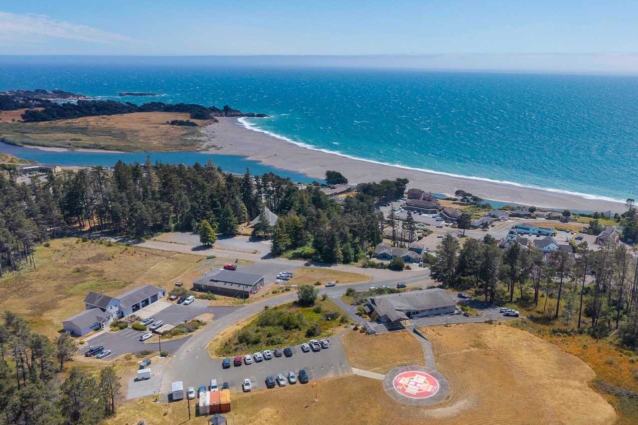
Mill Bend Preserve covers 113 acres at the mouth of the Gualala River, and you can walk it today. Its trails are free and open to the public. The plans for its future mostly come down to one obstacle, and it isn't in the forest or the estuary. It's the state highway that runs through the middle of the property.
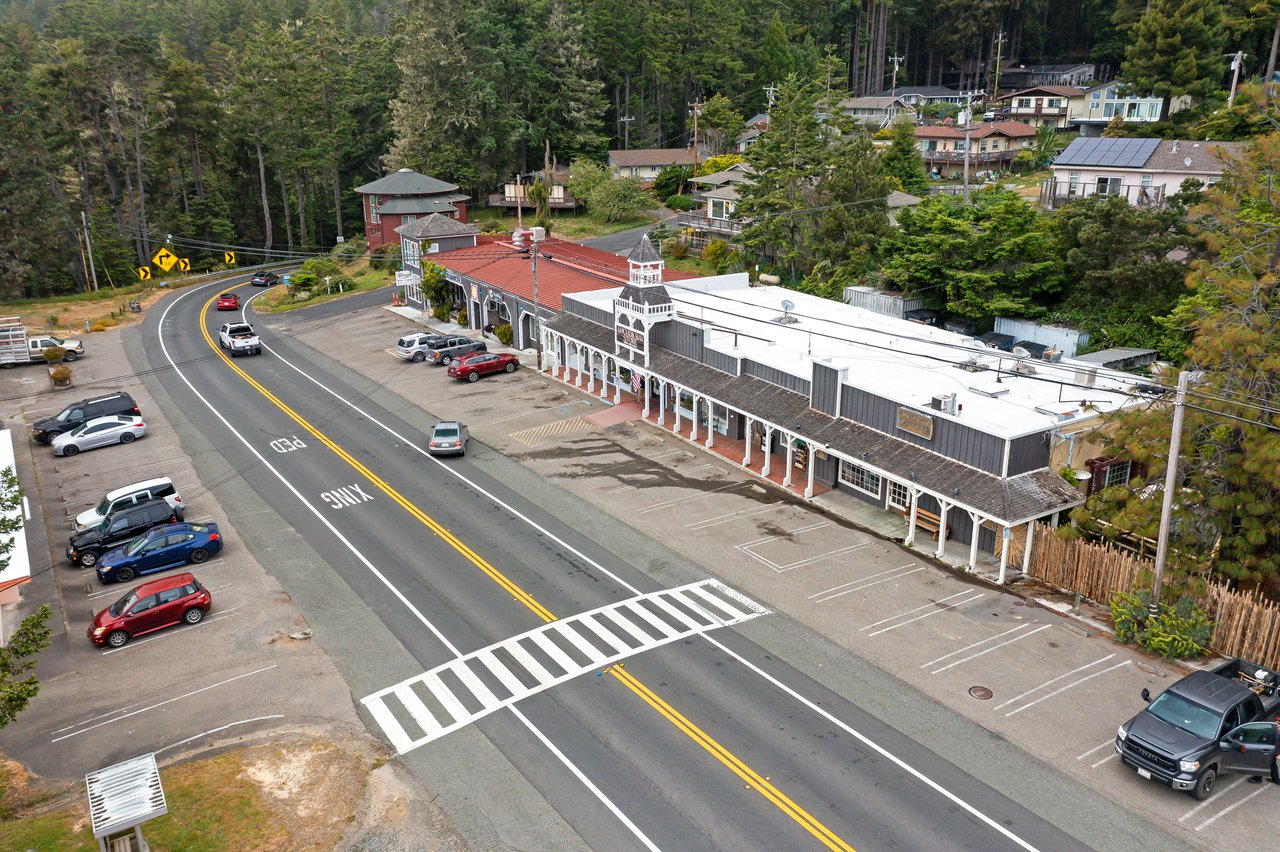
The Gualala Point Regional Park trails are just across the river to the south. Downtown is right next door to the north. Highway 1 cuts the preserve itself into an east side and a west side. Almost every planned improvement, and the separate $14 million rebuild of downtown Highway 1, is really about how a person on foot gets across or around that road.
The Walking That Already Works
The best way to see what's open is to start where the trails already link up. Redwood Coast Land Conservancy, or RCLC, owns and manages the preserve. It lists two places to start: the parking area at 46902 Old Stage Road and the Caltrans pullout northeast of the Gualala River bridge.
The River Rail Trail is the oldest piece of the network. It follows the bed of the old lumber railroad through three stretches of riverside forest and connects to the hillside trails at Gualala Arts Center. RCLC volunteers have also restored the historic Gualala Cemetery, cleared out broom and pampas grass, and hauled away old cars, concrete, and rebar from the uplands.
Know these basics before you go:
- There are picnic tables. There are no restrooms, benches, trash cans, or dog-bag dispensers, so RCLC asks everyone to pack out trash and pet waste.
- A 2021 RCLC notice said the vehicle gate on the access road closes from sunset to sunrise, and people on foot or in boats can still enter. That notice is several years old, so check the gate before planning an evening paddle.
- Wildlife RCLC lists for the preserve and estuary includes coho salmon, steelhead, Gualala roach, red-legged frogs, harbor seals, river otters, osprey, and bald eagles.
A walk from the east-side pullout, along the river, and up into the uplands needs no new construction. RCLC's own bird walks already take that route.
Where the Road Gets in the Way
In February 2024, the California Coastal Conservancy's staff report on Mill Bend was direct about the gap. It said there was "no developed public access to the estuary and river from the town of Gualala." It said most people see this part of the coast only by driving through on Highway 1, or by using informal trails the report called unsafe and damaging to the habitat.
The same report called the preserve a missing link in the California Coastal Trail. RCLC already built and maintains the Gualala Bluff Trail just to the north, and the regional park's trails sit to the south. The stretch in between is the gap.
RCLC's 2022 conservation plan describes how the gap could close. The answer it offers for the highway is to go under it, with a seasonal trail beneath the Gualala River Bridge. That would connect the east and west sides of the preserve "without the need to cross high-speed vehicle traffic." The plan also calls for upland trails linking the cemetery to the Gualala Arts property, plus short boardwalks over sensitive wetlands. It would carry the Coastal Trail from the Bluff Trail down to the estuary.
What the $1.66 Million Pays For
The Coastal Conservancy approved up to $1.66 million for Mill Bend. That money covers planning, design, environmental review, and permit applications. It doesn't pay for building trails. The work it funds is spelled out in detail:
| Element | What's being designed |
|---|---|
| New trails | 2.6 miles total |
| California Coastal Trail | 0.75 mile of that total |
| Estuary boardwalk | 1,000 feet |
| Old mill site | 4 acres restored to native coastal scrub, grassland, and forest |
| Visitor facilities | 3 restrooms, 5 picnic areas, 3 trailheads |
| Interpretation | 2 historic and cultural elements, designed with local California Native American tribes |
| Permits | Estuary Access, Coastal Trail Extension, Mill Site Restoration |
The highway shows up in this plan too. The report notes that almost all the work is on RCLC land, but some of it extends into the Caltrans right-of-way, including for building crosswalks. The old mill site is above the highway. The report describes it as asphalt, concrete, and invasive plants that keep water from soaking in and create a fire hazard.
When the grant was announced in February 2024, RCLC said the public-access designs were due by December 2027. That date came from a 2024 announcement. This fall's public event still describes the work as "early design concepts," so treat 2027 as an earlier target, not a confirmed finish date.
The Other Project at the Same Road
The road crossings that would let people walk from town to the preserve are partly in someone else's hands. Caltrans and the Mendocino Council of Governments are rebuilding Highway 1 through downtown Gualala. The goal is safe walking and biking and better traffic flow. Caltrans estimates the cost at $14 million. The project received its construction funding at the California Transportation Commission meeting on August 21, 2026, and Caltrans's current schedule shows construction starting in 2026. The Coastal Conservancy report said RCLC would work with MCOG and Caltrans on crosswalk planning so safe access could reach the preserve.
The streetscape plan goes back decades. The Mendocino Voice reported in March 2026 that its outline first appeared in the 2002 Gualala Town Plan. That plan called for bike lanes, more crosswalks, and pedestrian safety islands. The version Caltrans presented in May 2023, known as Alternative 5, included native plantings. Those plantings were taken out of the permit application filed in November 2024. Mendocino County staff planner Liam Crowley said the reason was maintenance. Caltrans wouldn't take on upkeep of the plantings permanently, and the county transportation department wouldn't accept it either.
The county later agreed to maintain 5,100 square feet of landscaping, split between the north and south ends of town. Save Gualala, a local group founded by Tom Murphy, filed an appeal. It gathered 1,748 signatures and testified before the California Coastal Commission on February 4. The appeal was not successful, and the group decided not to sue so the project's time-sensitive grants wouldn't be put at risk. In March, the county said it aimed to start the two-year construction process by the end of 2026.
None of this means a continuous trail from town to the river is open now. It means two projects are on separate schedules, and the downtown one is closer to construction than the preserve's own designs.
Who Is Doing the Work
RCLC's June 2026 newsletter announced that executive director Jim Elias was retiring and that Helen Pataki was taking over. Stewardship director Sophia Pisciotta leads the crew on the ground. In 2026 that included restoration technicians Ethan Widner and Dylan Freebairn-Smith, with Noah Fisher and Austin Josephs as temporary help on invasive-plant removal and fuel reduction. A State Coastal Conservancy wildfire grant of $308,200, which ran through June 30, 2026, paid for more than 4,000 hours of staff time plus equipment.
The scientists working with RCLC on design and restoration are from Prunuske Chatham, Inc., known as PCI. In the estuary itself, PCI has proposed adding large wood to give fish more cover and restoring emergent wetland. RCLC says permits and more funding are still needed before that work can happen.
Two Dates This Month
The best chance to see the trails and the plans together comes over the next week:
- Wednesday, October 7, 8 a.m. RCLC's free bird walk meets at the pullout on the east side of Highway 1, just north of the Gualala River bridge. It starts at the river's edge, then heads into the uplands' meadows, chaparral, and forest. No dogs.
- Saturday, October 10, 1 to 4 p.m. "Pathways to Mill Bend Preserve" takes place in Coleman Hall at Gualala Arts Center. The presentation is at 2 p.m. and opens with a song by Kevin Village-Stone. RCLC and PCI will share early design concepts, show the new Mill Bend Preserve trail map, and announce the Gualala River Community Photo Contest winners. Admission is free, and there will be crafts for kids.
For walks after this month, RCLC said in November 2025 that former board director Cheryl Harris would keep leading occasional bird walks at Mill Bend and The Sea Ranch. In September, local birder and iNaturalist Ambassador Karen Wilkinson led a bird-and-plant walk from the bridge pullout to the Gualala Cemetery. The new trail map is what to pick up on the 10th. The two missing pieces it may show, the route under the bridge and the crosswalks from downtown, both depend on work at Highway 1.
At Kennedy & Associates, we follow projects like Mill Bend and the downtown streetscape because they change how Gualala works day to day, long before anything shows up on a map. If you'd like to hear when we learn more about trail access, the crosswalk schedule, or what follows the October 10 presentation, sign up to Receive Exclusive Listings, and we'll send these updates along with them.