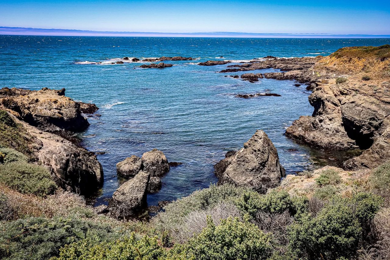
Timber Cove’s wild headlands and pocket coves are a big part of why people buy here. They also raise a common question: how do coastal access easements work, and what do they mean for your property or a pending sale? This guide gives you a plain‑English overview tailored to Timber Cove. You will learn what an easement is, the types you may see, how to confirm what is recorded on your lot, and practical steps to keep a transaction on track.
This is a practical explainer, not legal advice. Our focus is on what to check, who to ask, and how to plan. We include local facts from recorded maps, HOA materials, and county and state sources so you can move forward with confidence. At the end, you will find a simple checklist and next steps if you are buying or selling in Timber Cove.
What a Coastal Access Easement Is — A Plain‑English Overview
An easement is a legal right for someone else to use a piece of land that you own. Think of it as a shared right to do a specific thing in a specific place. The most familiar examples are a driveway shared with a neighbor, a footpath along a lot line, or a strip where utilities can access lines.
With a coastal access easement, the use is often about reaching or traveling along the shoreline, or using a mapped trail within a subdivision. You still own the land. But certain people, or the public, may have the right to pass over a defined area, usually with limits like walking only or no vehicles.
What makes coastal access easements distinct is the mix of private and public interests. In Timber Cove, a recorded subdivision map from 1965 shows pedestrian, equestrian, and public utility easements that many owners use as neighborhood trails. Local trail stewards report about six miles of trails based on these private map easements for Timber Cove owners and guests. These are not the same thing as a public beach path, and how they function depends on the recorded documents and HOA rules. See local background and documents at the Timber Cove Trails site and HOA records for context:
- Timber Cove Trails community documentation: https://www.timbercovetrails.org/
- Timber Cove Homes Association governing documents: https://timbercovehomes.weebly.com/governing--business-documents.html
Common Types of Coastal Access Easements
Here are the easement types Timber Cove owners most often encounter, with simple examples:
Public beach access easements. These allow the public to reach or walk along the shore. In California, public shoreline access is a major policy goal under the Coastal Act, and the California Coastal Commission often secures access through permit conditions and offers to dedicate land for access. Learn more about state public access tools here: https://www.coastal.ca.gov/access/
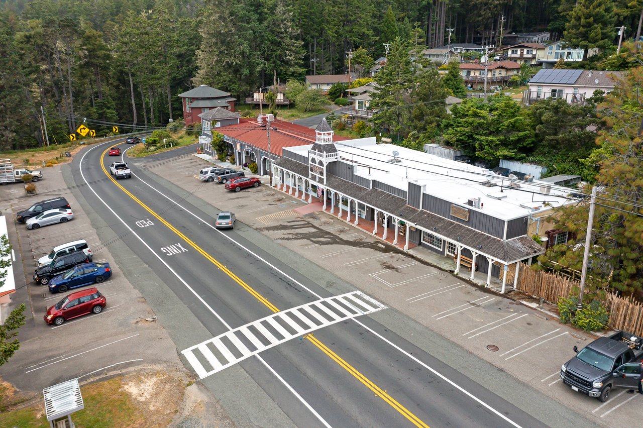
Vertical access vs. lateral access. Vertical access runs from a public road down to the beach. Lateral access runs along the shoreline, roughly parallel to the water. A vertical access easement might look like a signed path from Highway 1 to a cove. A lateral easement might be a beach‑walking corridor along the backshore. The State’s access resource pages explain these concepts for the coastal zone: https://dot.ca.gov/programs/environmental-analysis/coastal-program/coastal-act-policy-resource-information/public-access
Private subdivision trail easements. In Timber Cove, the 1965 Timber Cove Unit 2 map includes pedestrian, equestrian, and public utility easements that form a private trail network used by owners. Local sources describe about six miles of these trails. Because they are recorded on the subdivision map, they typically show up in title reports and CC&Rs. Community background: https://www.timbercovetrails.org/facts-and-issues.html
Offers to dedicate (OTDs). An OTD is an owner’s recorded offer to a public agency to accept an accessway in the future. It is not open to the public until a public agency accepts and improves it. The Coastal Commission has used hundreds of OTDs statewide to secure future access. Overview: https://www.coastal.ca.gov/access/offer-to-dedicate/
Prescriptive public rights. In some places, long, open, and continuous public use can lead to a court‑recognized public easement. The Coastal Commission investigates such claims, and the Attorney General may litigate to protect them when the facts support it. Program summary: https://coastal.ca.gov/access/prescriptive-rights
Utility and maintenance easements. These allow utility providers or the HOA to place and maintain lines or common improvements. They often overlap with other easements on the recorded map.
How Easements Get Created and Recorded — What to Look For
Easements come into being in a few common ways, and the paper trail is key:
Recorded subdivision maps. The Timber Cove Unit 2 map recorded in 1965 is the foundation for many local pedestrian, equestrian, and utility easements. The County Clerk‑Recorder maintains these official maps, and they are the primary evidence of map‑based easements. How to access recorded maps: https://sonomacounty.ca.gov/administrative-support-and-fiscal-services/clerk-recorder-assessor-registrar-of-voters/clerk-recorder/recorder-services/map-information
Deeds and title reports. Your deed’s legal description often references the subdivision map. Preliminary title reports list exceptions, including recorded easements that burden the lot. If you see a reference to a pedestrian or utility easement, expect it to be on the map or in a separate recorded instrument.
HOA documents. CC&Rs and HOA minutes sometimes spell out maintenance duties, rules for use, or how the HOA has handled encroachments. Timber Cove HOA documents are cataloged here: https://timbercovehomes.weebly.com/governing--business-documents.html
County actions affecting public interests. Sometimes the County may accept or vacate only the public’s interest in a corridor while private map easements remain. Sonoma County Board of Supervisors records and agenda packets from 2015 to 2016 document actions discussed by local groups in Timber Cove. Meeting archives: https://sonomacounty.ca.gov/administrative-support-and-fiscal-services/board-of-supervisors/board-meetings/meeting-archives/meeting-archive-for-2016
Practical Impacts for Timber Cove Owners
Easements shape daily life and long‑term plans. Here is what owners often experience in Timber Cove:
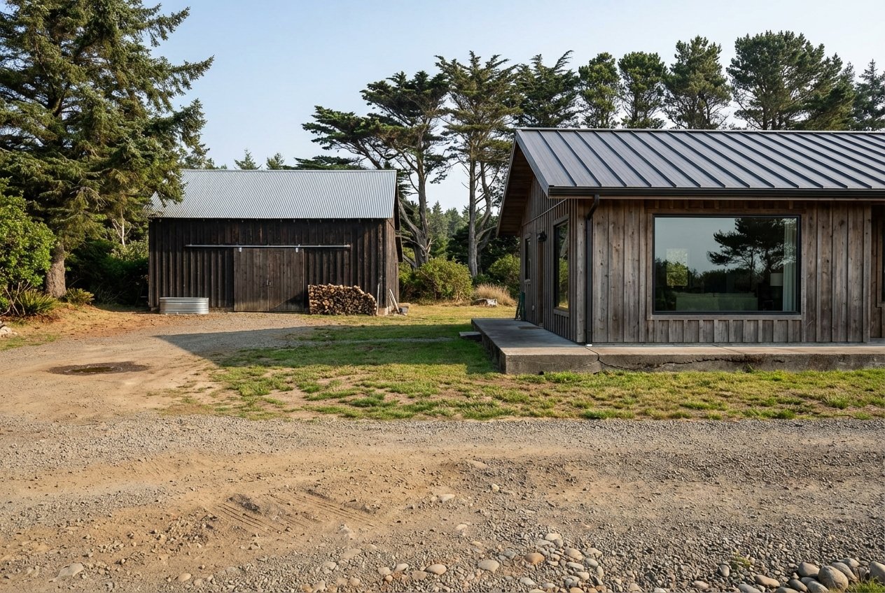
Building and landscaping limits. You usually cannot build structures, tall fences, or permanent landscaping within an easement area if it would block the allowed use. Before adding a shed, deck, or fence, verify the easement location on a current survey and check recorded terms.
Maintenance expectations. CC&Rs and HOA practices may assign maintenance of pedestrian easements or common paths. The local HOA materials and map references suggest the association has roles tied to easements in Timber Cove. Review CC&Rs and recent minutes to understand how work is funded and scheduled.
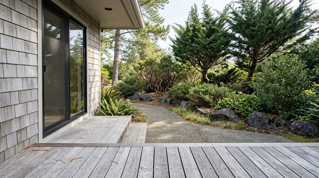
Privacy and use. If a mapped trail runs along your lot line, expect occasional foot traffic by neighbors and their guests. Clear signage, brushed paths, and visible boundaries help users stay on the route and protect privacy.
Marketability and valuation. Buyers drawn to coastal living often value legal trail access and clear beach connections. At the same time, some buyers prefer fewer people crossing near the home. Good disclosure, a survey exhibit, and photos that show the easement’s location reduce surprises and keep offers solid.
Risk management and liability. California Civil Code section 846 limits liability for landowners who allow recreational use without charge, with specific exceptions. HOAs and owners often use this protection along with clear rules, routine inspections, and insurance. Read the statute here: https://leginfo.legislature.ca.gov/faces/codes_displayText.xhtml?article=&chapter=2.&division=2.&lawCode=CIV&part=2.&title=3.
Public vs. private tracks. Timber Cove’s private, map‑recorded easements are separate from any future public Coastal Trail segments the County may pursue. Sonoma County has studied a California Coastal Trail alignment near Timber Cove that involves research into rights of way and OTDs. Feasibility study background: https://parks.sonomacounty.ca.gov/learn/planning-projects/project-directory/all-active-projects/timber-cove-trail-feasibility-study/background
Enforcement context. Across California, the Coastal Commission actively enforces coastal access conditions and can levy penalties when public access is unlawfully blocked. Enforcement overview: https://coastal.ca.gov/enforcement/
How to Confirm Whether Your Timber Cove Property Has an Easement
Use this step‑by‑step approach before you list or make an offer:
Order the preliminary title report. Read the “exceptions” section for easements, dedications, or OTDs. Ask the title officer for copies of every recorded document listed.
Pull the recorded subdivision map. The Timber Cove Unit 2 map is primary evidence of pedestrian and utility easements. The Sonoma County Clerk‑Recorder can provide official copies. Map info: https://sonomacounty.ca.gov/administrative-support-and-fiscal-services/clerk-recorder-assessor-registrar-of-voters/clerk-recorder/recorder-services/map-information
Review HOA records. Get the CC&Rs, bylaws, and any resolutions or minutes about trail maintenance and easement disputes. TCHA documents are organized online: https://timbercovehomes.weebly.com/governing--business-documents.html
Walk the property. Locate the easement area on the ground. Note fences, signs, or landscaping that may encroach. Take photos and mark up a printout of the map for clarity.
Hire a surveyor if lines are unclear. An ALTA survey or boundary stake‑out will fix locations and widths so you can design improvements or resolve disputes.
Check with County and state sources if public access issues arise. For potential public access claims, OTDs, or the Coastal Trail study, review Sonoma County and California Coastal Commission resources:
- Coastal Commission public access program: https://www.coastal.ca.gov/access/
- Prescriptive rights overview: https://coastal.ca.gov/access/prescriptive-rights
Transactional Advice: Buyer and Seller Considerations
A little planning keeps easements from derailing a deal.
For sellers:
- Disclose early. Provide the title report, the recorded subdivision map page, and any HOA documents that describe trail or utility easements. Include a simple site sketch in your disclosure packet.
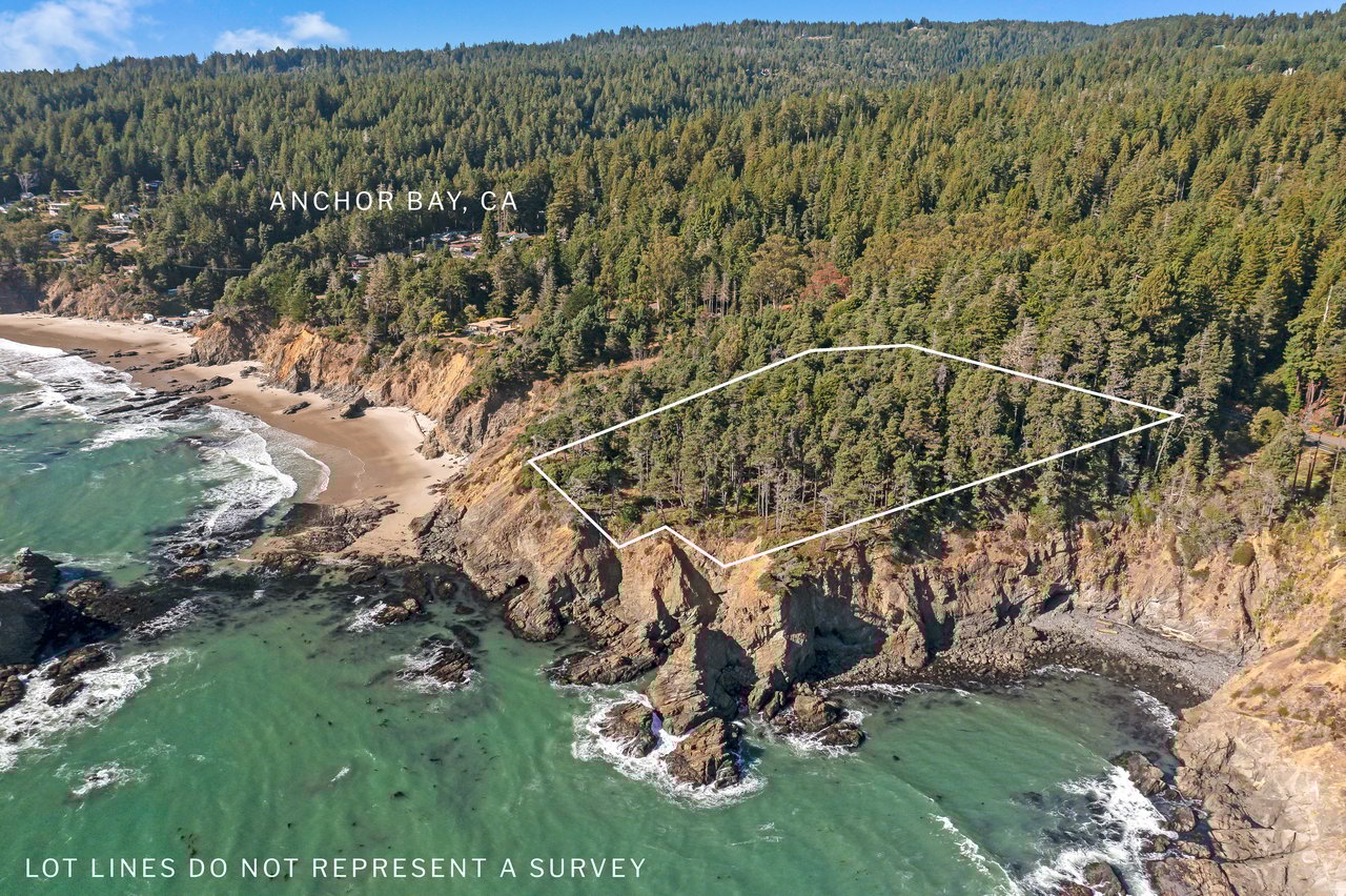
- Show the location. Add a marked aerial or survey excerpt to the listing and at showings so buyers see where the easement lies relative to the home and outdoor spaces.
- Clarify maintenance. If the HOA, you, or neighbors maintain a path, summarize the arrangement and typical costs. Attach any written agreements.
For buyers:
- Get full copies. Ask for the exact recorded easement documents, not just a title summary. Confirm who can use the easement and for what purpose.
- Verify use and limits. Is it pedestrian only? Can vehicles pass for maintenance? Are gates allowed if unlocked? Read the text and match it to the map.
- Price with eyes open. If an easement reduces build area or changes privacy, reflect that in your offer or request a credit.
Negotiation tools that help both sides:
- Maintenance agreements. Put neighbor or HOA maintenance in writing if it is informal today.
- Survey exhibits. Add a current survey to the escrow file for clarity and lender comfort.
- Insurance and indemnity language. Coordinate with your insurer and title company to address unique risks. Some easements can affect underwriting, so loop in the lender and title officer early.
Working with Local Specialists
Coastal easements sit at the crossroads of community, maps, and state policy. The right team smooths the path.
- Local broker or agent. A seasoned coastal agent will spot easement red flags, assemble the right documents, and coordinate with title, survey, and HOA contacts.
- Licensed land surveyor. Confirms exact easement location and width so you can plan improvements and avoid encroachments.
- Coastal real property attorney. Interprets recorded language, drafts maintenance agreements, and advises on disputes or public access questions.
- Title officer and escrow team. Provide official copies, explain exceptions, and underwrite around easements.
- County and state staff. Permit Sonoma, Sonoma County Regional Parks, and the California Coastal Commission offer public access resources and planning context.
Kennedy & Associates is an owner‑operated brokerage based in Gualala with decades of hands‑on coastal experience. We coordinate surveys, title packages, and local vendors and streamline due diligence for both local and remote clients.
Conclusion and Next Steps
In Timber Cove, coastal access touches private subdivision trails, HOA responsibilities, and, at times, county and state public access planning. The most important step is to confirm what is recorded early. Pull the subdivision map, read the title report, walk the easement on the ground, and line up a survey if anything is unclear. With a clear file and a coordinated team, buyers and sellers can move ahead with confidence.
If you would like a second set of eyes on your documents or help coordinating surveys, title, and disclosures, our local team is here for you. Contact Kennedy & Associates Real Estate to review your specific property and prepare a smooth sale or purchase: https://kennedyrealestate.com. Receive Exclusive Listings.
FAQs
Q: Are Timber Cove trails public? A: Most neighborhood trails follow private pedestrian easements shown on the 1965 subdivision map and are treated locally as private for Timber Cove owners and guests. See local background: https://www.timbercovetrails.org/
Q: Can the County convert a private trail to a public trail? A: Public access usually requires a separate legal basis, such as acceptance of an offer to dedicate or a negotiated access agreement. Sonoma County has studied a California Coastal Trail segment near Timber Cove, which would require rights of way and agency acceptance to open. Study info: https://parks.sonomacounty.ca.gov/learn/planning-projects/project-directory/all-active-projects/timber-cove-trail-feasibility-study/background
Q: What if someone blocks a recorded easement on my lot? A: Document the obstruction, gather the recorded documents and map, and consult a qualified real property attorney. Your HOA documents may also address maintenance and access. If safety is involved, contact local law enforcement. For statewide public access issues, see the Coastal Commission’s resources: https://www.coastal.ca.gov/access/
Q: How does California law treat beach access below the high tide line? A: Land seaward of the mean high tide line is generally subject to the State’s public trust, managed by the State Lands Commission. Learn more: https://www.slc.ca.gov/public-engagement/
Q: Do I have extra liability if people use a trail across my lot? A: California’s recreational‑use statute, Civil Code section 846, limits certain liabilities for owners who allow recreational use without charge, subject to exceptions. Read the statute: https://leginfo.legislature.ca.gov/faces/codes_displayText.xhtml?article=&chapter=2.&division=2.&lawCode=CIV&part=2.&title=3.
Q: Where can I see official County actions that affected Timber Cove easements? A: Check the Sonoma County Board of Supervisors meeting archives from 2015 to 2016 for actions that addressed public interests in certain corridors. Archives: https://sonomacounty.ca.gov/administrative-support-and-fiscal-services/board-of-supervisors/board-meetings/meeting-archives/meeting-archive-for-2016